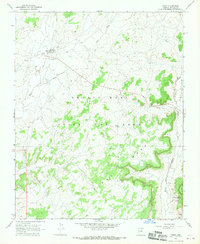
1967 Map of Pinon
USGS Topo · Published 1970About this map
The settlement of Pinon serves as the focal point for this survey of the High Plateau region in Northeastern Arizona during the late 1960s. The landscape is defined by the extensive Navajo Hopi Joint Use Area, a significant geopolitical designation of the era. The terrain transitions from the broad Burnt Corn Valley into the prominent elevations of First Mesa and Whippoorwill Mesa. Water sources, critical to life in this arid environment, are meticulously noted, including Toh-Ha-Huo-Cheen, Crow Spr, and Sagebrush Well. Local infrastructure is represented by a small Landing Strip and the community Rodeo Grounds near the town center. The network of drainage features like Wepo Wash illustrates the natural erosion patterns that have carved the mesas over centuries.
Find a feature on this map
18 named features on this map. Tap any name to fly to it.
Don’t see what you’re looking for? This feature index may not catch every label — zoom into the map to look around manually.
Map Details
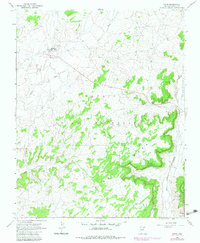
Editions of this 1967 Pinon Map
2 editions found
Other maps of this area

1883 · Marsh Pass
USGS Topo · 1:250,000

1883 · Tusayan
USGS Topo · 1:250,000

1886 · Tusayan
USGS Topo · 1:250,000

1892 · Marsh Pass
USGS Topo · 1:250,000

1947 · Flagstaff
USGS Topo · 1:250,000

1954 · Flagstaff
USGS Topo · 1:250,000

1956 · Marble Canyon
USGS Topo · 1:250,000

1958 · Flagstaff
USGS Topo · 1:250,000

1959 · Marble Canyon
USGS Topo · 1:250,000

1960 · Flagstaff
USGS Topo · 1:250,000