2019 Map of Pinon
USGS Topo · Published 2019About this map
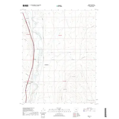
Fountain Creek bisects this landscape north of Pueblo, serving as the central artery for a complex network of irrigation infrastructure. This 2019 survey documents a series of critical water-rights features, including the Jackson and Burke Ditch, Benesch Ditch, and Sutherland Ditch, which redirect water across the arid plains. The settlement of Piñon sits along the transit corridor west of the creek, while Bragdon is situated further south near the base of Beacon Hill. The topography is defined by the contrast between the low-lying riparian zone and the rising elevations of Baculite Mesa and Tom Hollow to the southeast. Local ranching and access routes like Apelt Ranch Rd and Baculite Mesa Rd connect these remote points, illustrating the modern management of a landscape long defined by its scarcity of water.
Find a feature on this map
32 named features on this map. Tap any name to fly to it.
Don’t see what you’re looking for? This feature index may not catch every label — zoom into the map to look around manually.
Map Details
Editions of this 2019 Pinon Map
This is the sole edition of this map. No revisions or reprints were ever made.
Other maps of this area

1891 · Pueblo
USGS Topo · 1:125,000

1891 · Nepesta
USGS Topo · 1:125,000

1893 · Nepesta
USGS Topo · 1:125,000

1893 · Big Springs
USGS Topo · 1:125,000

1893 · Colorado Springs
USGS Topo · 1:125,000

1894 · Pueblo
USGS Topo · 1:125,000

1896 · Pueblo
USGS Topo · 1:125,000

1897 · Pueblo
USGS Topo · 1:125,000

1904 · Nepesta
USGS Topo · 1:125,000

1909 · Colorado Springs
USGS Topo · 1:125,000