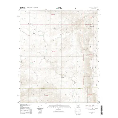
2013 Map of Pinon Ranch
USGS Topo · Published 2013About this map
Pinon Ranch sits at the heart of this high-desert landscape, where ranching infrastructure and natural drainage systems define the character of the terrain. The eastern portion of the quadrangle is dominated by the steep escarpment of The Rim within the Lincoln National Forest, a significant topographical boundary that separates the higher forested elevations from the canyon-carved lowlands. This area is defined by its water management systems, essential for cattle operations in such arid country.
Find a feature on this map
70 named features on this map. Tap any name to fly to it.
Don’t see what you’re looking for? This feature index may not catch every label — zoom into the map to look around manually.
Map Details
Editions of this 2013 Pinon Ranch Map
This is the sole edition of this map. No revisions or reprints were ever made.
Other maps of this area

1954 · Carlsbad
USGS Topo · 1:250,000

1958 · Carlsbad
USGS Topo · 1:250,000

1963 · Cornucopia Canyon
USGS Topo · 1:24,000

1963 · Tanner Ranch
USGS Topo · 1:24,000

1963 · Panama Ranch
USGS Topo · 1:24,000

1965 · Lewis Peak NE
USGS Topo · 1:24,000

1965 · Chimney Lake
USGS Topo · 1:24,000

1965 · Lewis Peak
USGS Topo · 1:24,000

1965 · Bullis Spring Ranch
USGS Topo · 1:24,000

1965 · Pinon Ranch
USGS Topo · 1:24,000