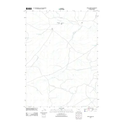
2012 Map of Pinto Creek
USGS Topo · Published 2012About this map
N Laramie River flows across this high-plains landscape in Albany County, defining a region characterized by remote ranching operations and carefully managed water resources. The dominance of irrigation infrastructure is evident in the presence of Pinto Reservoir, Twenty-Mile Number 1 Reservoir, and Sturgeon Reservoir Number 3, which support the agricultural needs of local holdings like Dodge Ranch. This 2012 survey shows a network of seasonal drainages and named draws, such as Twentymile Draw and Elk Horn Draw, which channel runoff toward the primary creek systems.
Find a feature on this map
21 named features on this map. Tap any name to fly to it.
Don’t see what you’re looking for? This feature index may not catch every label — zoom into the map to look around manually.
Map Details
Editions of this 2012 Pinto Creek Map
This is the sole edition of this map. No revisions or reprints were ever made.
Other maps of this area

1954 · Torrington
USGS Topo · 1:250,000

1954 · Cheyenne
USGS Topo · 1:250,000

1955 · Dodge Ranch
USGS Topo · 1:24,000

1955 · Sevenmile Spring
USGS Topo · 1:24,000

1955 · Ayres Spring
USGS Topo · 1:24,000

1958 · Cheyenne
USGS Topo · 1:250,000

1958 · Torrington
USGS Topo · 1:250,000

1968 · Cow Creek Mountain
USGS Topo · 1:24,000

1968 · Cottonwood Creek
USGS Topo · 1:24,000
1968 · Rogers Creek
USGS Topo · 1:24,000