
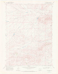
1968 Map of Cottonwood Creek
USGS Topo · Published 1972About this map
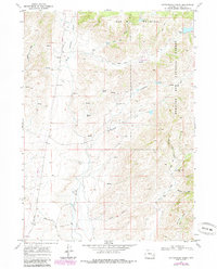
Medicine Bow National Forest dominates the eastern landscape of this Wyoming quadrangle, where the high-altitude terrain transitions into the canyons and draws of the North Laramie River. In the late 1960s, this area of Albany County remained a sparse ranching and forestry environment, anchored by the Antelope Creek Sch and the historical path of the Fort Fetterman Road.
Find a feature on this map
20 named features on this map. Tap any name to fly to it.
Don’t see what you’re looking for? This feature index may not catch every label — zoom into the map to look around manually.
Map Details
Editions of this 1968 Cottonwood Creek Map
2 editions found
Other maps of this area

1954 · Torrington
USGS Topo · 1:250,000

1958 · Torrington
USGS Topo · 1:250,000

1964 · Toltec
USGS Topo · 1:24,000

1964 · Windy Peak
USGS Topo · 1:24,000

1964 · Marshall
USGS Topo · 1:24,000

1968 · Cow Creek Mountain
USGS Topo · 1:24,000
1968 · Rogers Creek
USGS Topo · 1:24,000
1968 · Garrett
USGS Topo · 1:24,000
1968 · Boot Heel SE
USGS Topo · 1:24,000
1968 · Pinto Creek
USGS Topo · 1:24,000