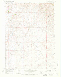
1968 Map of Rogers Creek
USGS Topo · Published 1972About this map
Mine Hills anchor the northern landscape of this Albany County survey, where the topography is defined by complex drainage systems and early extractive efforts. The area is characterized by several intermittent watercourses, including Sheep Creek and Mule Creek, which flow through the undulating terrain. A high concentration of Springs and isolated Spring points are located throughout the northeastern and central sections, suggesting a reliance on natural water sources for the local cattle industry. Evidence of geological exploration is scattered across the landscape in the form of several Prospects, a Prospect, and a Well, reflecting the region's mineral interests. The Atkinson Ranch is the primary named settlement, serving as a focal point of human activity in this otherwise open ranching environment. Detailed notations, including fine dashed lines indicating selected fence lines, provide insight into the land management and property divisions of the late 1960s.
Find a feature on this map
12 named features on this map. Tap any name to fly to it.
Don’t see what you’re looking for? This feature index may not catch every label — zoom into the map to look around manually.
Map Details
Editions of this 1968 Rogers Creek Map
This is the sole edition of this map. No revisions or reprints were ever made.
Other maps of this area

1954 · Torrington
USGS Topo · 1:250,000

1958 · Torrington
USGS Topo · 1:250,000

1964 · Toltec
USGS Topo · 1:24,000
1964 · Pass Creek
USGS Topo · 1:24,000

1964 · Marshall
USGS Topo · 1:24,000

1968 · Cottonwood Creek
USGS Topo · 1:24,000
1968 · Boot Heel
USGS Topo · 1:24,000
1968 · Greasewood Knoll
USGS Topo · 1:24,000
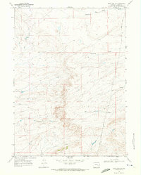
1968 · Boot Heel SE
USGS Topo · 1:24,000
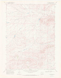
1968 · Pinto Creek
USGS Topo · 1:24,000