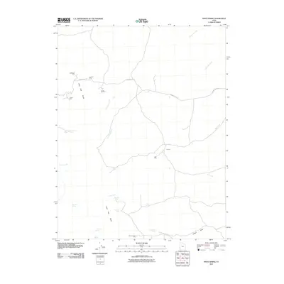
2010 Map of Pinto Spring
USGS Topo · Published 2010About this map
Mining operations and remote water sources define this high-altitude landscape within the Indian Peak Range during the early 21st century. The terrain is marked by a legacy of mineral extraction, with numerous named sites such as the Holtbluebell Mine, Noonday Mine, and Cougar Spar Mine clustered in the northwestern portion of the quadrangle. These operations, alongside the Utah Mine and J B Mine further east, suggest a history of prospecting for diverse minerals in these isolated hills.
Find a feature on this map
23 named features on this map. Tap any name to fly to it.
Don’t see what you’re looking for? This feature index may not catch every label — zoom into the map to look around manually.
Map Details
Editions of this 2010 Pinto Spring Map
This is the sole edition of this map. No revisions or reprints were ever made.
Other maps of this area

1953 · Richfield
USGS Topo · 1:250,000

1958 · Richfield
USGS Topo · 1:250,000

1971 · Observation Knoll
USGS Topo · 1:24,000

1971 · Pine Grove Reservoir
USGS Topo · 1:24,000

1971 · Pinto Spring
USGS Topo · 1:24,000

1971 · Steamboat Mtn SW
USGS Topo · 1:24,000

1971 · Bible Spring
USGS Topo · 1:24,000

1971 · Atchison Creek
USGS Topo · 1:24,000

1971 · Steamboat Mtn
USGS Topo · 1:24,000
1972 · Buckhorn Spring
USGS Topo · 1:24,000