
1971 Map of Pinto Spring
USGS Topo · Published 1974About this map
Indian Peak State Game Management Area dominates this high-altitude landscape in the early 1970s, where the Indian Peak Range creates a rugged backdrop for localized mining operations and water resources. The terrain is defined by a series of springs that supported both wildlife and human activity, ranging from the central Merrils Camp Spring to the clustered Springs near Atchison Creek. Small-scale mining is evident throughout the quadrangle, with the Holt Bluebell Mine, Cougar Spar Mine, and Neonday Mine scattered across the northwestern slopes.
Find a feature on this map
37 named features on this map. Tap any name to fly to it.
Don’t see what you’re looking for? This feature index may not catch every label — zoom into the map to look around manually.
Map Details
Editions of this 1971 Pinto Spring Map
This is the sole edition of this map. No revisions or reprints were ever made.
Other maps of this area

1953 · Richfield
USGS Topo · 1:250,000

1958 · Richfield
USGS Topo · 1:250,000

1971 · Observation Knoll
USGS Topo · 1:24,000

1971 · Pine Grove Reservoir
USGS Topo · 1:24,000

1971 · Steamboat Mtn SW
USGS Topo · 1:24,000

1971 · Bible Spring
USGS Topo · 1:24,000

1971 · Atchison Creek
USGS Topo · 1:24,000

1971 · Steamboat Mtn
USGS Topo · 1:24,000
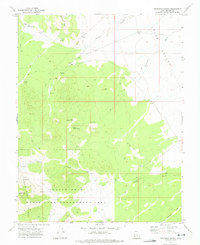
1972 · Buckhorn Spring
USGS Topo · 1:24,000
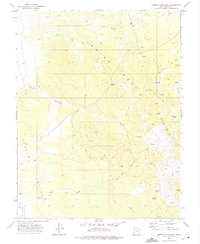
1972 · Miners Cabin Wash
USGS Topo · 1:24,000