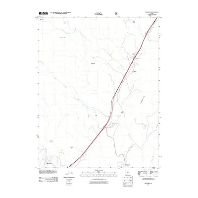
2011 Map of Pintura
USGS Topo · Published 2011About this map
Silver Reef sits at the southwestern corner of this survey, marking a site deeply rooted in the mining history of Washington County. The landscape is dominated by the dramatic elevation change of the Hurricane Cliffs to the east, while Ash Creek and South Ash Creek define the primary drainage patterns through the center of the quadrangle. Transport and settlement are concentrated along the north-south corridor, connecting Pintura and its associated Pintura Cemetery with Anderson Junction and the northern edge of Toquerville.
Find a feature on this map
28 named features on this map. Tap any name to fly to it.
Don’t see what you’re looking for? This feature index may not catch every label — zoom into the map to look around manually.
Map Details
Editions of this 2011 Pintura Map
This is the sole edition of this map. No revisions or reprints were ever made.
Other maps of this area

1885 · St. George
USGS Topo · 1:250,000

1891 · St. George
USGS Topo · 1:250,000

1953 · Cedar City
USGS Topo · 1:250,000

1954 · La Verkin 4 NW
USGS Topo · 1:24,000

1954 · La Verkin 3 NW
USGS Topo · 1:24,000

1954 · La Verkin 3 NE
USGS Topo · 1:24,000

1954 · La Verkin 1 SW
USGS Topo · 1:24,000

1954 · La Verkin 2 SE
USGS Topo · 1:24,000

1954 · Hurricane
USGS Topo · 1:62,500

1957 · New Harmony
USGS Topo · 1:62,500