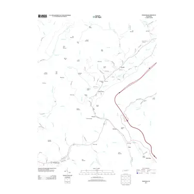
2013 Map of Pioneer
USGS Topo · Published 2013About this map
Pioneer sits at the center of this mountain landscape, marking a key point along the corridor between Limestone Ridge and Hackle Knob. This 2013 survey reveals a pattern of dispersed settlements like Stanfill and Straight Fork tucked into the valleys of Elk Fork Cr and Straight Fork. The mapping of family and local burial grounds, including Stanfield Cem, Meredith Cem, and Baird Cem, provides essential points for genealogical research in this part of Campbell County. The terrain is characterized by prominent high points such as Ned Mountain and Buffalo Mountain, with numerous gaps like Elk Gap and Finn Gap dictating the path of local roads. Along the eastern edge, the settlement of Royal Blue and the rising slopes of Turley Mountain mark the transition toward the higher ridges of the Cumberland Plateau.
Find a feature on this map
139 named features on this map. Tap any name to fly to it.
Don’t see what you’re looking for? This feature index may not catch every label — zoom into the map to look around manually.
Map Details
Editions of this 2013 Pioneer Map
This is the sole edition of this map. No revisions or reprints were ever made.
Other maps of this area

1890 · Williamsburg
USGS Topo · 1:125,000

1893 · Briceville
USGS Topo · 1:125,000

1894 · Williamsburg
USGS Topo · 1:125,000

1895 · Briceville
USGS Topo · 1:125,000

1896 · Briceville
USGS Topo · 1:125,000

1936 · Ivydell
USGS Topo · 1:24,000

1936 · Block
USGS Topo · 1:24,000

1936 · Jacksboro
USGS Topo · 1:24,000

1936 · Pioneer
USGS Topo · 1:24,000

1936 · La Follette
USGS Topo · 1:48,000