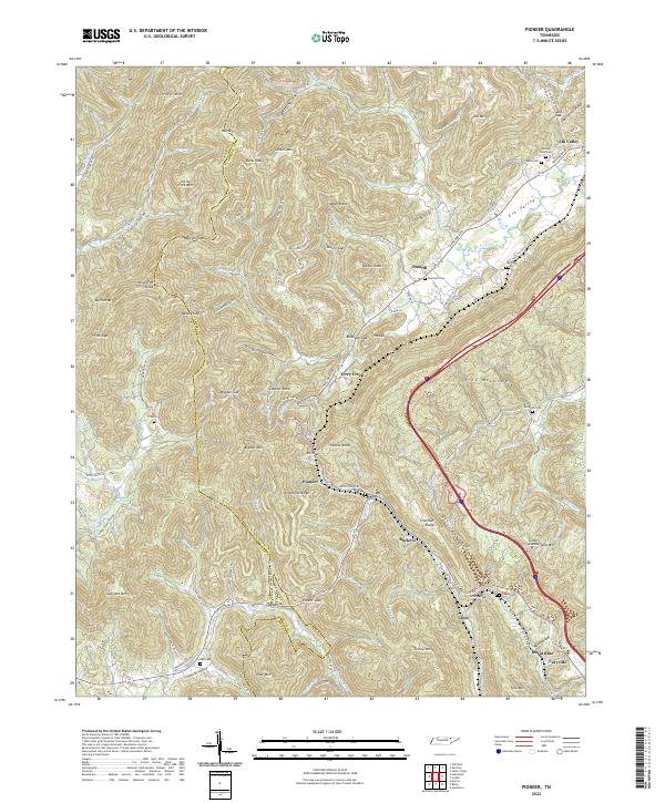
2022 Map of Pioneer
USGS Topo · Published 2022About this map
Pioneer and the surrounding mountain settlements of Campbell County are captured here in the modern era, showing a landscape defined by sharp ridges and deep hollows. The Campbell and Scott County line traverses the western high ground near Braden Mountain and Gunsight Mountain, while the eastern portion is dominated by the corridor of 75. The topography reveals the historical importance of gaps for travel, such as Elk Gap and Sexton Gap, which have long guided road placement through this complex terrain.
Find a feature on this map
118 named features on this map. Tap any name to fly to it.
Don’t see what you’re looking for? This feature index may not catch every label — zoom into the map to look around manually.
Map Details
Editions of this 2022 Pioneer Map
This is the sole edition of this map. No revisions or reprints were ever made.
Other maps of this area

1890 · Williamsburg
USGS Topo · 1:125,000

1893 · Briceville
USGS Topo · 1:125,000

1894 · Williamsburg
USGS Topo · 1:125,000

1895 · Briceville
USGS Topo · 1:125,000

1896 · Briceville
USGS Topo · 1:125,000

1936 · Ivydell
USGS Topo · 1:24,000

1936 · Block
USGS Topo · 1:24,000

1936 · Jacksboro
USGS Topo · 1:24,000

1936 · Pioneer
USGS Topo · 1:24,000

1936 · La Follette
USGS Topo · 1:48,000