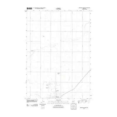
2010 Map of Pipestone North
USGS Topo · Published 2010About this map
Pipestone serves as the focal point for this 2010 survey of the southwestern Minnesota prairie, where the landscape is defined by the winding course of Pipestone Creek and its tributaries. To the north, the small settlement of Cazenovia sits along the North Branch Pipestone Creek, while the surrounding rural grid is dotted with significant local landmarks including Perkins Lazy Meadows Airport and the Pipestone RV Campground. The geography is notably shaped by water features such as Indian Lake and the Winnewissa Falls, which punctuate the agricultural plains.
Find a feature on this map
30 named features on this map. Tap any name to fly to it.
Don’t see what you’re looking for? This feature index may not catch every label — zoom into the map to look around manually.
Map Details
Editions of this 2010 Pipestone North Map
This is the sole edition of this map. No revisions or reprints were ever made.
Other maps of this area

1953 · Watertown
USGS Topo · 1:250,000

1955 · Sioux Falls
USGS Topo · 1:250,000

1958 · Sioux Falls
USGS Topo · 1:250,000

1958 · Watertown
USGS Topo · 1:250,000

1967 · Pipestone North
USGS Topo · 1:24,000

1967 · Edgerton North
USGS Topo · 1:24,000

1967 · Ruthton NW
USGS Topo · 1:24,000

1967 · Elkton SW
USGS Topo · 1:24,000

1967 · Verdi
USGS Topo · 1:24,000

1967 · Pipestone South
USGS Topo · 1:24,000