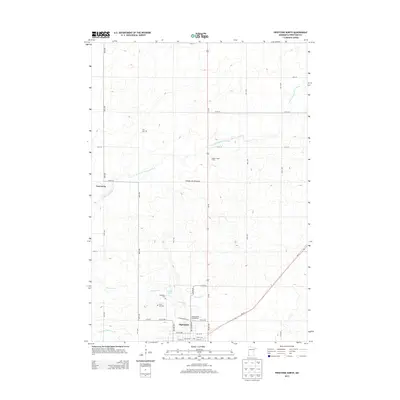
2013 Map of Pipestone North
USGS Topo · Published 2013About this map
Pipestone anchor the southern edge of this survey, where the prairie landscape transitions into the distinctive upland known as the Coteau des Prairies. The map documents a structured grid of county roads and avenues that segment the agricultural land, supporting local operations like Paulsen Angus Farms. Water features are central to the geography here, with the North Br Pipestone Creek and South Br Pipestone Cr winding through the terrain, while Indian Lake and the Winnewissa Falls provide notable landmarks near the town center.
Find a feature on this map
39 named features on this map. Tap any name to fly to it.
Don’t see what you’re looking for? This feature index may not catch every label — zoom into the map to look around manually.
Map Details
Editions of this 2013 Pipestone North Map
This is the sole edition of this map. No revisions or reprints were ever made.
Other maps of this area

1953 · Watertown
USGS Topo · 1:250,000

1955 · Sioux Falls
USGS Topo · 1:250,000

1958 · Sioux Falls
USGS Topo · 1:250,000

1958 · Watertown
USGS Topo · 1:250,000

1967 · Pipestone North
USGS Topo · 1:24,000

1967 · Edgerton North
USGS Topo · 1:24,000

1967 · Ruthton NW
USGS Topo · 1:24,000

1967 · Elkton SW
USGS Topo · 1:24,000

1967 · Verdi
USGS Topo · 1:24,000

1967 · Pipestone South
USGS Topo · 1:24,000