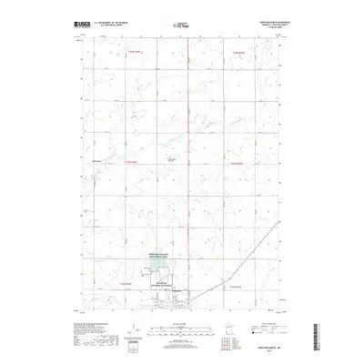
2019 Map of Pipestone North
USGS Topo · Published 2019About this map
Pipestone National Monument and the adjacent Pipestone Wildlife Management Area anchor this portion of the Coteau des Prairies, a high plateau known for its distinct geological and cultural significance. The city of Pipestone sits at the southern edge of the survey, where local history is preserved at Woodlawn Cem and Saint Leo Cem. The landscape is defined by the headwaters of the Pipestone Cr system, including the N Br Pipestone Cr and S Br Pipestone Cr, which drain the prairie landscape. To the northwest, the settlement of Cazenovia remains a notable landmark alongside the Troy Cem, reflecting the early rural development patterns of the county. The grid of section roads, such as Co RD 15 and Co RD 8, provides a clear view of the agricultural organization surrounding Indian Lake.
Find a feature on this map
33 named features on this map. Tap any name to fly to it.
Don’t see what you’re looking for? This feature index may not catch every label — zoom into the map to look around manually.
Map Details
Editions of this 2019 Pipestone North Map
This is the sole edition of this map. No revisions or reprints were ever made.
Other maps of this area

1953 · Watertown
USGS Topo · 1:250,000

1955 · Sioux Falls
USGS Topo · 1:250,000

1958 · Sioux Falls
USGS Topo · 1:250,000

1958 · Watertown
USGS Topo · 1:250,000

1967 · Pipestone North
USGS Topo · 1:24,000

1967 · Edgerton North
USGS Topo · 1:24,000

1967 · Ruthton NW
USGS Topo · 1:24,000

1967 · Elkton SW
USGS Topo · 1:24,000

1967 · Verdi
USGS Topo · 1:24,000

1967 · Pipestone South
USGS Topo · 1:24,000