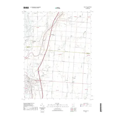
2019 Map of Piqua East
USGS Topo · Published 2019About this map
The Great Miami River flows southward through this landscape, carving a valley that separates the western settlements of Lockington and the eastern outskirts of Piqua. The river's influence is evident in the surrounding topography, including landforms like Cedar Bluff and Sheeny Hollow. Settlement patterns here are defined by a mix of educational and transportation infrastructure, such as Edison State Community College and both the Sidney Municipal Airport and Apple Airport.
Find a feature on this map
142 named features on this map. Tap any name to fly to it.
Don’t see what you’re looking for? This feature index may not catch every label — zoom into the map to look around manually.
Map Details
Editions of this 2019 Piqua East Map
This is the sole edition of this map. No revisions or reprints were ever made.
Other maps of this area

1909 · Loramie
USGS Topo · 1:62,500

1911 · Loramie
USGS Topo · 1:62,500

1911 · Covington
USGS Topo · 1:62,500

1913 · Sidney
USGS Topo · 1:62,500

1914 · Troy
USGS Topo · 1:62,500

1944 · Covington
USGS Topo · 1:62,500

1944 · Sidney
USGS Topo · 1:62,500

1944 · Loramie
USGS Topo · 1:62,500

1944 · Troy
USGS Topo · 1:62,500

1953 · Muncie
USGS Topo · 1:250,000