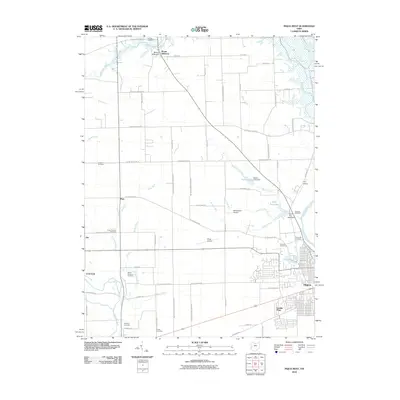
2010 Map of Piqua West
USGS Topo · Published 2010About this map
Piqua sits at the eastern edge of this western Ohio landscape, where the Great Miami River and Stillwater River define the local drainage patterns. In this early twenty-first-century survey, the transition from urban streets to a grid of rural farmland is clear, punctuated by small unincorporated settlements such as Polo, Abe, and Mount Jefferson. The area is notably dense with burial grounds, including the large Forest Hill Cemetery near the river and smaller, potentially older sites like Houston Cemetery and Priest Cemetery, which offer valuable points of interest for genealogical researchers. Water management is a primary feature of the terrain, characterized by a complex network of man-made cuts like Sigmon Ditch and Klase Ditch. These diversions feed into natural waterways such as Trotters Creek and Patterson Run, illustrating the agricultural engineering required to maintain the fertile plains surrounding Clayton.
Find a feature on this map
72 named features on this map. Tap any name to fly to it.
Don’t see what you’re looking for? This feature index may not catch every label — zoom into the map to look around manually.
Map Details
Editions of this 2010 Piqua West Map
This is the sole edition of this map. No revisions or reprints were ever made.
Other maps of this area

1909 · Loramie
USGS Topo · 1:62,500

1911 · Loramie
USGS Topo · 1:62,500

1911 · Covington
USGS Topo · 1:62,500

1913 · Sidney
USGS Topo · 1:62,500

1914 · Troy
USGS Topo · 1:62,500

1944 · Covington
USGS Topo · 1:62,500

1944 · Sidney
USGS Topo · 1:62,500

1944 · Loramie
USGS Topo · 1:62,500

1944 · Troy
USGS Topo · 1:62,500

1953 · Muncie
USGS Topo · 1:250,000