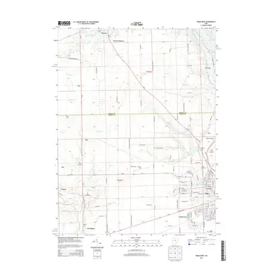
2013 Map of Piqua West
USGS Topo · Published 2013About this map
The Stillwater River and Great Miami River define the agricultural and residential landscape of this western Ohio region, where the city of Piqua meets the rural townships of Shelby Co and Miami Co. Several family-centric landmarks such as Hoying Farm, Davis Farm, and Watson Farms are distributed across the drainage basins of Loramie Creek and Patterson Run, illustrating a long-standing pattern of agrarian land use. The area is notable for its numerous aviation sites, including Piqua Airport - Hartzell Field and smaller private strips like Fry Airport.
Find a feature on this map
135 named features on this map. Tap any name to fly to it.
Don’t see what you’re looking for? This feature index may not catch every label — zoom into the map to look around manually.
Map Details
Editions of this 2013 Piqua West Map
This is the sole edition of this map. No revisions or reprints were ever made.
Other maps of this area

1909 · Loramie
USGS Topo · 1:62,500

1911 · Loramie
USGS Topo · 1:62,500

1911 · Covington
USGS Topo · 1:62,500

1913 · Sidney
USGS Topo · 1:62,500

1914 · Troy
USGS Topo · 1:62,500

1944 · Covington
USGS Topo · 1:62,500

1944 · Sidney
USGS Topo · 1:62,500

1944 · Loramie
USGS Topo · 1:62,500

1944 · Troy
USGS Topo · 1:62,500

1953 · Muncie
USGS Topo · 1:250,000