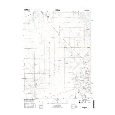
2016 Map of Piqua West
USGS Topo · Published 2016About this map
Covington and the western outskirts of Piqua anchor this 2016 survey of the Miami and Shelby County border. The landscape is defined by the Stillwater River and its network of tributaries and man-made ditches, including Sigmon Ditch and Apple Ditch, which drain the agricultural land surrounding Mount Jefferson and Polo. The area's genealogical history is well-preserved through several burial sites such as Miami Memorial Cem and Highland Cem, while the local aviation legacy is represented by Piqua Airport-Hartzell Field and Mc Colloch's Airport. The eastern edge of the map shows the transition into more developed residential blocks near Echo Lake and Swift Run Lake, where the grid of Piqua meets the winding path of Loramie Creek.
Find a feature on this map
138 named features on this map. Tap any name to fly to it.
Don’t see what you’re looking for? This feature index may not catch every label — zoom into the map to look around manually.
Map Details
Editions of this 2016 Piqua West Map
This is the sole edition of this map. No revisions or reprints were ever made.
Other maps of this area

1909 · Loramie
USGS Topo · 1:62,500

1911 · Loramie
USGS Topo · 1:62,500

1911 · Covington
USGS Topo · 1:62,500

1913 · Sidney
USGS Topo · 1:62,500

1914 · Troy
USGS Topo · 1:62,500

1944 · Covington
USGS Topo · 1:62,500

1944 · Sidney
USGS Topo · 1:62,500

1944 · Loramie
USGS Topo · 1:62,500

1944 · Troy
USGS Topo · 1:62,500

1953 · Muncie
USGS Topo · 1:250,000