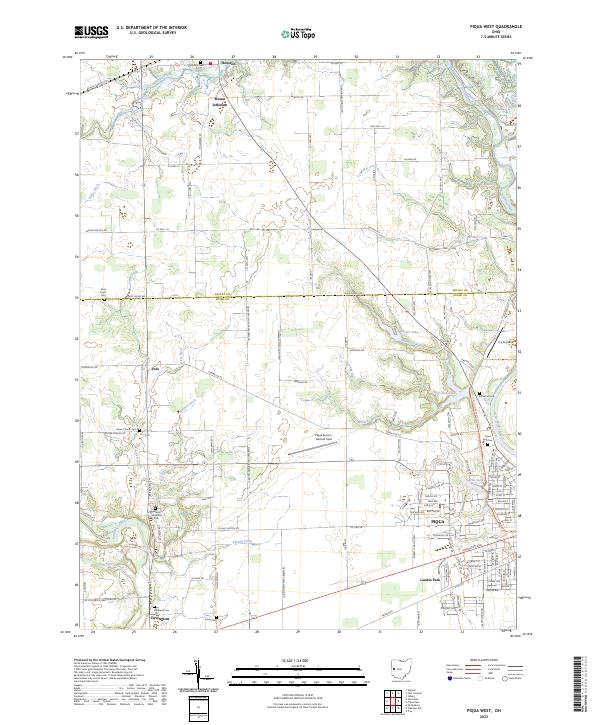
2023 Map of Piqua West
USGS Topo · Published 2023About this map
The Great Miami River and its western tributaries define this region of western Ohio where the city of Piqua meets the rural agricultural landscape. Straddling the boundary of Shelby and Miami counties, the area is characterized by a high density of rural burial grounds such as Houston Cem, Saint Paul's Cem, and Union Church Cem, which serve the small outlying settlements of Houston, Mount Jefferson, and Polo. The influence of the river system is evident in the many managed waterways, including Sigmon Ditch and Apple Ditch, which support the local drainage network.
Find a feature on this map
140 named features on this map. Tap any name to fly to it.
Don’t see what you’re looking for? This feature index may not catch every label — zoom into the map to look around manually.
Map Details
Editions of this 2023 Piqua West Map
This is the sole edition of this map. No revisions or reprints were ever made.
Other maps of this area

1909 · Loramie
USGS Topo · 1:62,500

1911 · Loramie
USGS Topo · 1:62,500

1911 · Covington
USGS Topo · 1:62,500

1913 · Sidney
USGS Topo · 1:62,500

1914 · Troy
USGS Topo · 1:62,500

1944 · Covington
USGS Topo · 1:62,500

1944 · Sidney
USGS Topo · 1:62,500

1944 · Loramie
USGS Topo · 1:62,500

1944 · Troy
USGS Topo · 1:62,500

1953 · Muncie
USGS Topo · 1:250,000