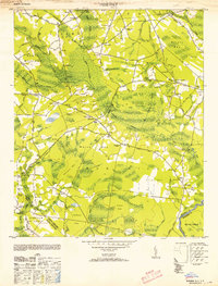
1953 Map of Pireway
USGS Topo · Published 1953About this map
Grissett Swamp and a network of blackwater drainages dominate this coastal plain landscape along the North Carolina border. The area is defined by massive elliptical depressions known as Carolina Bays, including Marsh Bay, Jenrette Bay, and Cross Bay, which dictate the placement of small agricultural settlements like Bughill and Dulah. These communities are connected by a system of rural routes such as Guide Road and the Ironhill Road, tracing the higher ground between the wetlands. The presence of several distinct houses of worship, such as the Dulah Mormon Church and Old Zion Ch, alongside the Dothans Sch, illustrates a decentralized rural society centered on local congregations and small schoolhouses. An Old Tram Road cutting through the eastern portion of the map suggests a history of timber extraction from the dense swamps long before this mid-century survey was conducted.
Find a feature on this map
56 named features on this map. Tap any name to fly to it.
Don’t see what you’re looking for? This feature index may not catch every label — zoom into the map to look around manually.
Map Details
Editions of this 1953 Pireway Map
2 editions found
Other maps of this area

1937 · Nixonville
USGS Topo · 1:48,000

1942 · Nixonville
USGS Topo · 1:62,500

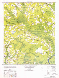
1943 · Pireway
USGS Topo · 1:31,680

1943 · Nakina
USGS Topo · 1:24,000

1943 · Calabash
USGS Topo · 1:31,680

1943 · Freeland
USGS Topo · 1:24,000

1944 · Longs
USGS Topo · 1:31,680

1949 · Georgetown
USGS Topo · 1:250,000

1953 · Longs
USGS Topo · 1:24,000
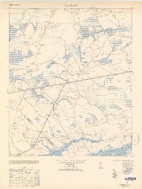
1953 · Calabash
USGS Topo · 1:24,000