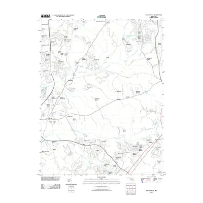
2011 Map of Piscataway
USGS Topo · Published 2011About this map
Piscataway Creek and Mattawoman Creek anchor this Southern Maryland landscape, where suburban residential growth meets established rural landmarks. The map documents an area dense with named housing developments like Fort Washington Forest, Warburton Manor, and Tantallon Square, reflecting the region's late 20th-century expansion. Aviation history is prominent with both Potomac Airfield and the Washington Executive Airport situated near the northern boundary. Genealogists can identify key local burial sites including Saint Marys Cemetery and McKendree Cemetery. The network of small waterways, such as Tinkers Creek and Piney Branch, highlights the drainage patterns into the nearby Potomac river system, while the presence of the Clinton Regional Park Dam indicates modern water management and recreational infrastructure within the Prince George's and Charles County corridor.
Find a feature on this map
79 named features on this map. Tap any name to fly to it.
Don’t see what you’re looking for? This feature index may not catch every label — zoom into the map to look around manually.
Map Details
Editions of this 2011 Piscataway Map
This is the sole edition of this map. No revisions or reprints were ever made.
Other maps of this area

1890 · Mt. Vernon
USGS Topo · 1:125,000

1891 · Mt. Vernon
USGS Topo · 1:125,000

1892 · Brandywine
USGS Topo · 1:62,500

1894 · Mt. Vernon
USGS Topo · 1:125,000

1895 · Brandywine
USGS Topo · 1:62,500

1897 · Mt. Vernon
USGS Topo · 1:125,000

1899 · Patuxent
USGS Topo · 1:125,000

1900 · Washington
USGS Topo · 1:62,500

1906 · Patuxent
USGS Topo · 1:125,000

1911 · Brandywine
USGS Topo · 1:62,500