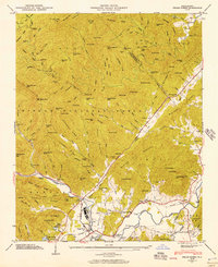
1945 Map of Pisgah Forest
USGS Topo · Published 1957About this map
The Pisgah National Forest dominates the mountain landscape of western North Carolina in this mid-century survey, revealing a network of ridges, gaps, and river valleys near the border of Henderson and Transylvania counties. The industrial activity at Ecusta stands in contrast to the surrounding timberlands, while the Southern Railroad follows the curves of the French Broad River and Davidson River, linking the communities of Blantyre and Pisgah Forest.
Find a feature on this map
135 named features on this map. Tap any name to fly to it.
Don’t see what you’re looking for? This feature index may not catch every label — zoom into the map to look around manually.
Map Details
Editions of this 1945 Pisgah Forest Map
2 editions found
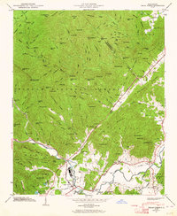
Other maps of this area

1905 · Pisgah
USGS Topo · 1:125,000

1906 · Pisgah
USGS Topo · 1:125,000

1935 · Cruso
USGS Topo · 1:24,000

1935 · Brevard
USGS Topo · 1:24,000

1935 · Standingstone Mtn.
USGS Topo · 1:24,000

1935 · Horse Shoe
USGS Topo · 1:24,000

1935 · Rosman
USGS Topo · 1:24,000

1935 · Shining Rock
USGS Topo · 1:24,000

1935 · Pisgah Forest
USGS Topo · 1:24,000

1936 · Skyland
USGS Topo · 1:24,000