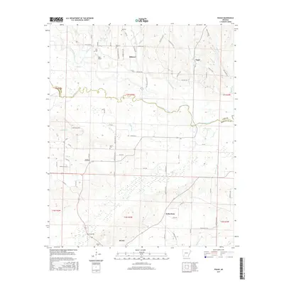
2017 Map of Pisgah
USGS Topo · Published 2017About this map
Billstown and Pisgah serve as local hubs in this rural landscape where the Little Missouri River meanders across the border of Pike and Hempstead Counties. The terrain is defined by its numerous small waterways, including Ozan Cr and Collins Bayou, which drain into the lowlands south of the river. Genealogists will find a significant concentration of burial grounds throughout the area, such as Nash Cem, Billstown Cem, and the Bell Bluff Cem near the prominent Bell Bluff landmark.
Find a feature on this map
83 named features on this map. Tap any name to fly to it.
Don’t see what you’re looking for? This feature index may not catch every label — zoom into the map to look around manually.
Map Details
Editions of this 2017 Pisgah Map
This is the sole edition of this map. No revisions or reprints were ever made.
Other maps of this area

1901 · Gurdon
USGS Topo · 1:125,000

1906 · Caddo Gap
USGS Topo · 1:125,000

1943 · Antoine
USGS Topo · 1:62,500

1951 · Blevins
USGS Topo · 1:24,000

1951 · Washington
USGS Topo · 1:24,000

1951 · Pisgah
USGS Topo · 1:24,000

1951 · McCaskill
USGS Topo · 1:24,000

1953 · El Dorado
USGS Topo · 1:250,000

1955 · Little Rock
USGS Topo · 1:250,000

1956 · Little Rock
USGS Topo · 1:250,000