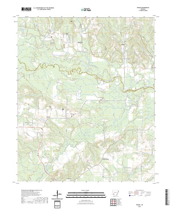
2024 Map of Pisgah
USGS Topo · Published 2024About this map
Billstown and Bell Bluff sit along the northern reaches of this landscape, where the Little Missouri River carves a meandering path between the borders of Pike and Hempstead counties. This 2024 survey captures a rural territory defined by its watercourses, from the wide flow of the river to smaller drainage networks like Saline Creek, Ozan Creek, and Howard Creek. The settlement pattern is anchored by dispersed communities and historical burial grounds, including the Billstown Cem, Bell Bluff Cem, and Nash Cem.
Find a feature on this map
87 named features on this map. Tap any name to fly to it.
Don’t see what you’re looking for? This feature index may not catch every label — zoom into the map to look around manually.
Map Details
Editions of this 2024 Pisgah Map
This is the sole edition of this map. No revisions or reprints were ever made.
Other maps of this area

1901 · Gurdon
USGS Topo · 1:125,000

1906 · Caddo Gap
USGS Topo · 1:125,000

1943 · Antoine
USGS Topo · 1:62,500

1951 · Blevins
USGS Topo · 1:24,000

1951 · Washington
USGS Topo · 1:24,000

1951 · Pisgah
USGS Topo · 1:24,000

1951 · McCaskill
USGS Topo · 1:24,000

1953 · El Dorado
USGS Topo · 1:250,000

1955 · Little Rock
USGS Topo · 1:250,000

1956 · Little Rock
USGS Topo · 1:250,000