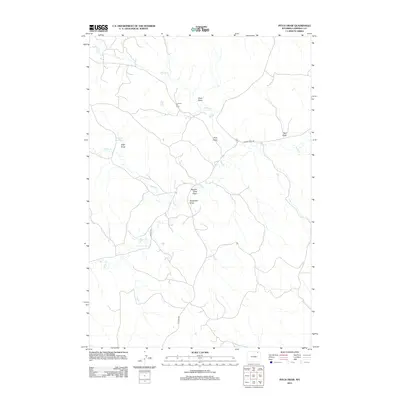
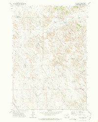
2012 Map of Pitch Draw
USGS Topo · Published 2012About this map
Collums Oil Field anchors the upper central portion of this Campbell County landscape, reflecting the industrial character of the region during the early 21st century. The terrain is defined by an intricate network of seasonal drainages known locally as draws, including the eponymous Pitch Draw and the descriptively named Square Rock Draw. These geographic features dictate the sparse road network, which is primarily composed of local and private routes such as Horse Creek Rd and Collins Rd.
Find a feature on this map
14 named features on this map. Tap any name to fly to it.
Don’t see what you’re looking for? This feature index may not catch every label — zoom into the map to look around manually.
Map Details
Editions of this 2012 Pitch Draw Map
This is the sole edition of this map. No revisions or reprints were ever made.
Other maps of this area

1954 · Gillette
USGS Topo · 1:250,000

1955 · Gillette
USGS Topo · 1:250,000

1958 · Gillette
USGS Topo · 1:250,000

1962 · Gillette
USGS Topo · 1:250,000

1971 · Wildcat
USGS Topo · 1:24,000
1971 · Homestead Draw SW
USGS Topo · 1:24,000
1971 · Pitch Draw
USGS Topo · 1:24,000

1971 · Recluse
USGS Topo · 1:24,000
1971 · White Tail Butte
USGS Topo · 1:24,000
1971 · Calf Creek
USGS Topo · 1:24,000