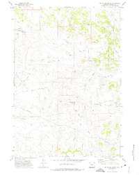
1971 Map of White Tail Butte
USGS Topo · Published 1975About this map
White Tail Butte rises as a central landmark in this 1971 survey of Campbell County, Wyoming, which captures a landscape defined by ranching and energy extraction. The map documents an extensive network of pipelines and drill holes cutting across the high plains, connecting the Southeast Elk Creek Field, White Tail Field, and Collums Oil Field. These industrial features overlay a network of seasonal watercourses and drainage draws, such as Cromack Draw, White Rock Draw, and South Fork Olmstead Creek. Local travel is anchored by Elk Creek Road, which passes through the junction at Four Corners. Numerous gravel pits and scattered oil wells highlight the region's mid-century economic activities. The drainage patterns of White Tail Creek and Chalk Prong Bitter Creek illustrate the typical high-desert terrain where water management is critical for survival and industry.
Find a feature on this map
26 named features on this map. Tap any name to fly to it.
Don’t see what you’re looking for? This feature index may not catch every label — zoom into the map to look around manually.
Map Details
Editions of this 1971 White Tail Butte Map
This is the sole edition of this map. No revisions or reprints were ever made.
Other maps of this area

1954 · Gillette
USGS Topo · 1:250,000

1955 · Gillette
USGS Topo · 1:250,000

1958 · Gillette
USGS Topo · 1:250,000

1962 · Gillette
USGS Topo · 1:250,000
1971 · Homestead Draw SW
USGS Topo · 1:24,000
1971 · Pitch Draw
USGS Topo · 1:24,000
1971 · Corral Creek
USGS Topo · 1:24,000

1971 · Recluse
USGS Topo · 1:24,000
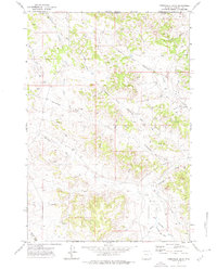
1971 · Homestead Draw
USGS Topo · 1:24,000
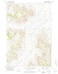
1972 · Oliver Draw
USGS Topo · 1:24,000