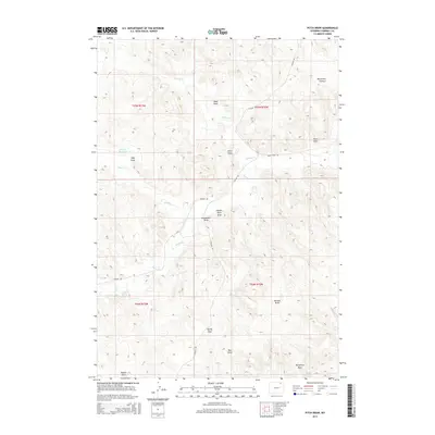
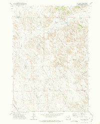
2015 Map of Pitch Draw
USGS Topo · Published 2015About this map
Norfolk Reservoir sits in the northwest of this landscape, serving as a rare collection of surface water in a terrain defined primarily by its drainage patterns. The area is marked by a series of named draws that reveal the intricate natural topography of Campbell County, including Margarets Draw, Paul Draw, and Batz Draw. These features, along with Pitch Draw and Square Rock Draw, highlight the erosion-carved landscape typical of the region's high plains.
Find a feature on this map
23 named features on this map. Tap any name to fly to it.
Don’t see what you’re looking for? This feature index may not catch every label — zoom into the map to look around manually.
Map Details
Editions of this 2015 Pitch Draw Map
This is the sole edition of this map. No revisions or reprints were ever made.
Other maps of this area

1954 · Gillette
USGS Topo · 1:250,000

1955 · Gillette
USGS Topo · 1:250,000

1958 · Gillette
USGS Topo · 1:250,000

1962 · Gillette
USGS Topo · 1:250,000

1971 · Wildcat
USGS Topo · 1:24,000
1971 · Homestead Draw SW
USGS Topo · 1:24,000
1971 · Pitch Draw
USGS Topo · 1:24,000

1971 · Recluse
USGS Topo · 1:24,000
1971 · White Tail Butte
USGS Topo · 1:24,000
1971 · Calf Creek
USGS Topo · 1:24,000