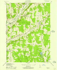
1944 Map of Pitcher
USGS Topo · Published 1957About this map
The Otselic River valley dominates the northwestern corner of this territory, where the small hamlets of Pitcher and North Pitcher serve as local hubs for a rural landscape defined by ridge-top farming and stream-cut valleys. The 1944 survey reveals a highly distributed system of rural education and social infrastructure, with numbered schoolhouses like School No 1 and School No 4 serving isolated farmsteads. Family and community heritage is deeply rooted in the landscape, marked by numerous burial grounds including Pink Cem and the Pharsalia Center Cem. In the southern reaches, the waters of Genegantslet Lake and Genegantslet Creek drain toward the Susquehanna basin, while old thoroughfares like Rabbit Path and Street Road trace the high ground between the Otselic and Brakel watersheds. This era shows a transition from traditional upland agriculture to a more modern road network connecting Pharsalia and German to the larger county seats.
Find a feature on this map
46 named features on this map. Tap any name to fly to it.
Don’t see what you’re looking for? This feature index may not catch every label — zoom into the map to look around manually.
Map Details
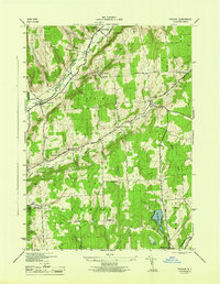
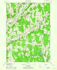
Editions of this 1944 Pitcher Map
3 editions found
Other maps of this area

1902 · Coventry
USGS Topo · 1:62,500

1903 · Norwich
USGS Topo · 1:62,500

1904 · Greene
USGS Topo · 1:62,500

1904 · Oxford
USGS Topo · 1:62,500

1904 · Pitcher
USGS Topo · 1:62,500

1943 · Otselic
USGS Topo · 1:24,000

1943 · South Ostelic
USGS Topo · 1:24,000

1943 · Cincinnatus
USGS Topo · 1:24,000

1943 · East Pharsalia
USGS Topo · 1:24,000

1943 · Cuyler
USGS Topo · 1:24,000