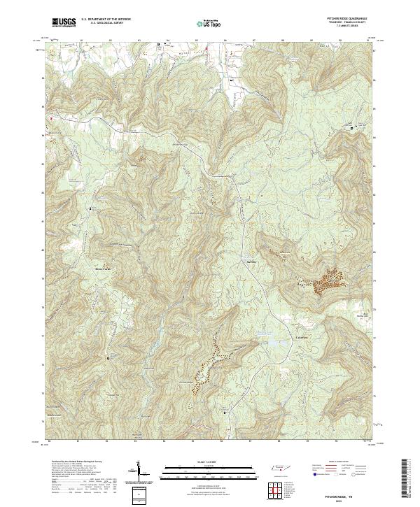
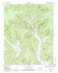
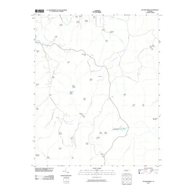
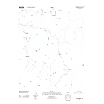
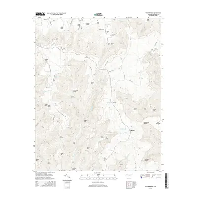
2022 Map of Pitcher Ridge
USGS Topo · Published 2022About this map
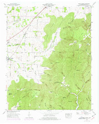
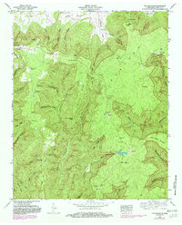
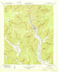
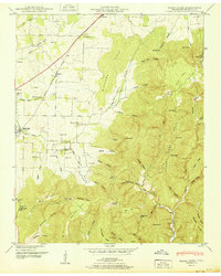
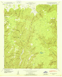
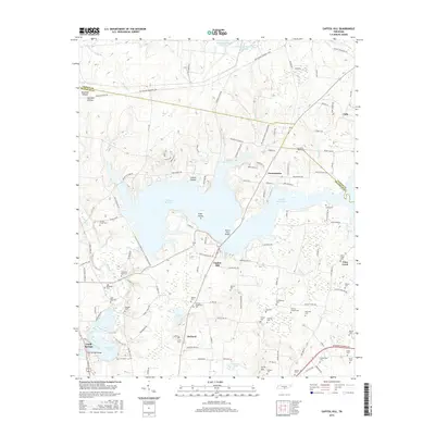
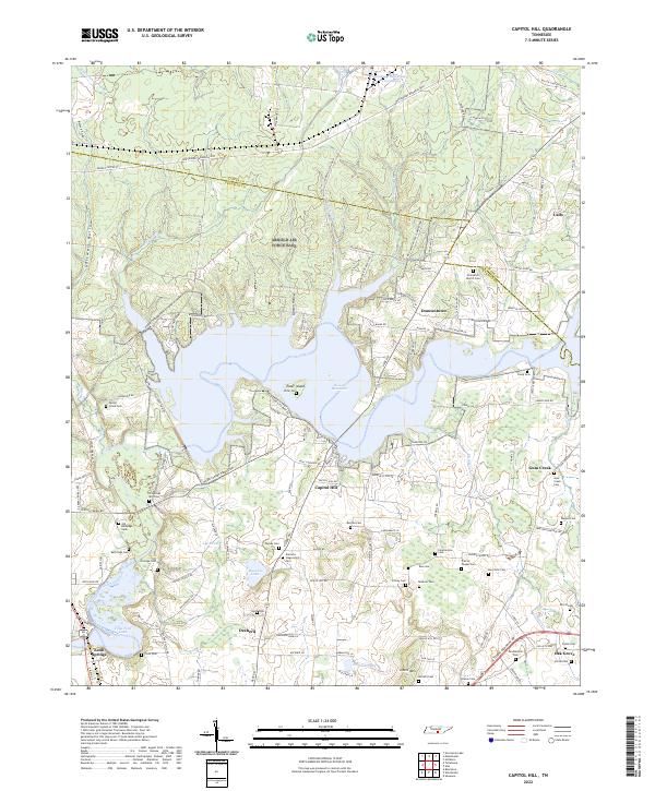
Sal City and the surrounding coves of Franklin County are defined by a complex network of hollows and ridges, illustrating the long-standing rural settlement patterns of the Tennessee highlands. Named landmarks like Hickory Ridge and Bear Hollow Mtn dominate the vertical landscape, while the valleys are pocketed with family-named features and small community hubs such as Three Forks and Lakeview. The distribution of burial grounds, including the Little Mountain Cem, Rice Field Cem, and Posey Field Cem, provides essential points of reference for genealogists tracking early residents of these isolated mountain pockets.
Find a feature on this map
91 named features on this map. Tap any name to fly to it.
Don’t see what you’re looking for? This feature index may not catch every label — zoom into the map to look around manually.
Map Details
Editions of this 2022 Pitcher Ridge Map
This is the sole edition of this map. No revisions or reprints were ever made.
Historical Maps of Lakeview Through Time
35 maps found
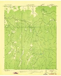
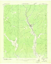
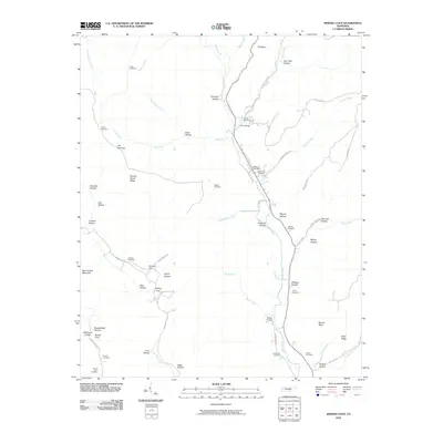
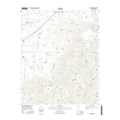
1936 Beans Creek
Franklin County, TN

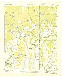
1936 Camp Peay
Franklin County, TN
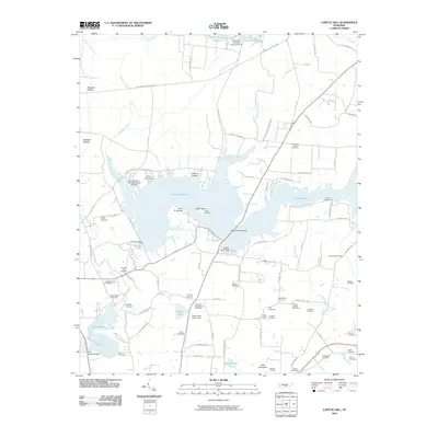
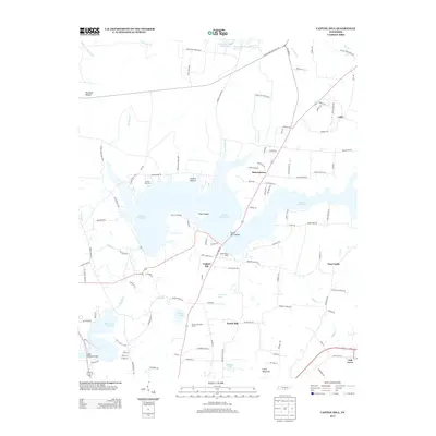
1936 Capitol Hill
Franklin County, TN
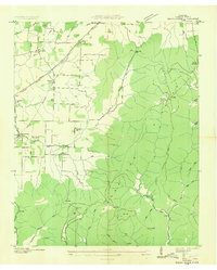
1936 Pitcher Ridge
Franklin County, TN
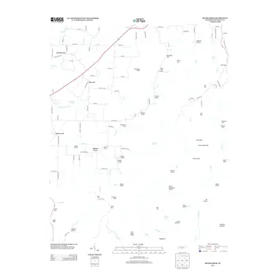
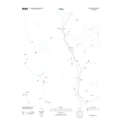
1936 Sinking Cove
Franklin County, TN
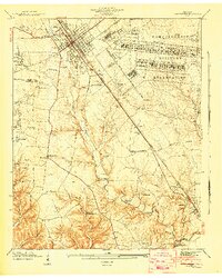
1941 Camp Forrest
Franklin County, TN
1941 Capitol Hill
Franklin County, TN
1947 Sinking Cove
Franklin County, TN
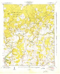
1948 Beans Creek
Franklin County, TN
1948 Pitcher Ridge
Franklin County, TN
1950 Sinking Cove
Franklin County, TN
1951 Beans Creek
Franklin County, TN
1951 Pitcher Ridge
Franklin County, TN
1962 Capitol Hill
Franklin County, TN
1972 Capitol Hill
Franklin County, TN
2010 Beans Creek
Franklin County, TN
2010 Capitol Hill
Franklin County, TN
2010 Pitcher Ridge
Franklin County, TN
2010 Sinking Cove
Franklin County, TN
2013 Beans Creek
Franklin County, TN
2013 Capitol Hill
Franklin County, TN
2013 Pitcher Ridge
Franklin County, TN
2013 Sinking Cove
Franklin County, TN
2016 Beans Creek
Franklin County, TN
2016 Capitol Hill
Franklin County, TN
2016 Pitcher Ridge
Franklin County, TN
2016 Sinking Cove
Franklin County, TN
2019 Beans Creek
Franklin County, TN
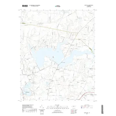
2019 Capitol Hill
Franklin County, TN
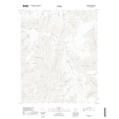
2019 Pitcher Ridge
Franklin County, TN
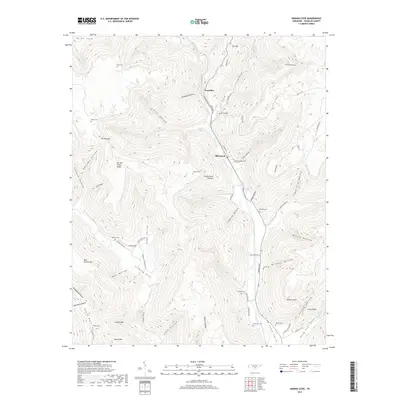
2019 Sinking Cove
Franklin County, TN
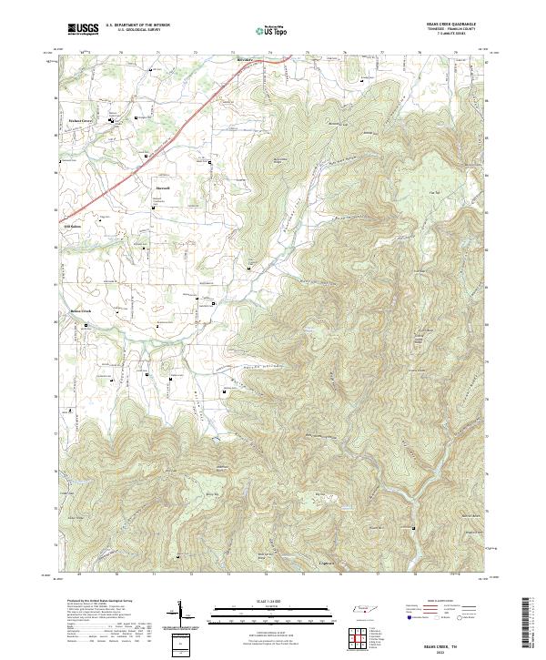
2022 Beans Creek
Franklin County, TN
2022 Capitol Hill
Franklin County, TN
2022 Pitcher Ridge
Franklin County, TN

2022 Sinking Cove
Franklin County, TN