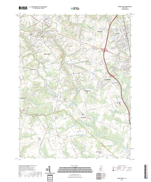
2023 Map of Pitman West
USGS Topo · Published 2023About this map
Mullica Hill stands as a focal point at the junction of Swedesboro Rd and Bridgeton Pike, surrounded by a high concentration of historic burial grounds including Mullica Hill Baptist Cem and Mount Calvary Cem. This 2023 survey of Gloucester County reveals a landscape where old industry and modern development coexist. The historic Wrights Mill and its associated Wrights Millpond are situated east of Ferrell, while the South Jersey Technology Park at Rowan University sits on the western edge of Glassboro. The terrain is defined by the winding Raccoon Creek and its southern branch, which feed numerous local ponds and lakes. To the south, the county line between Gloucester Co and Salem Co passes through the marshy expanse of Elephant Swamp, a distinct natural feature that contrasts with the suburban growth of nearby Pitman.
Find a feature on this map
70 named features on this map. Tap any name to fly to it.
Don’t see what you’re looking for? This feature index may not catch every label — zoom into the map to look around manually.
Map Details
Editions of this 2023 Pitman West Map
This is the sole edition of this map. No revisions or reprints were ever made.
Other maps of this area

1890 · Salem
USGS Topo · 1:62,500

1890 · Glassboro
USGS Topo · 1:62,500

1891 · Philadelphia
USGS Topo · 1:62,500

1894 · Chester
USGS Topo · 1:62,500

1894 · Philadelphia
USGS Topo · 1:62,500

1896 · Philadelphia
USGS Topo · 1:62,500

1896 · Chester
USGS Topo · 1:62,500

1898 · Salem
USGS Topo · 1:62,500

1898 · Glassboro
USGS Topo · 1:62,500

1898 · Chester
USGS Topo · 1:62,500