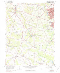
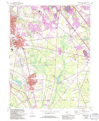
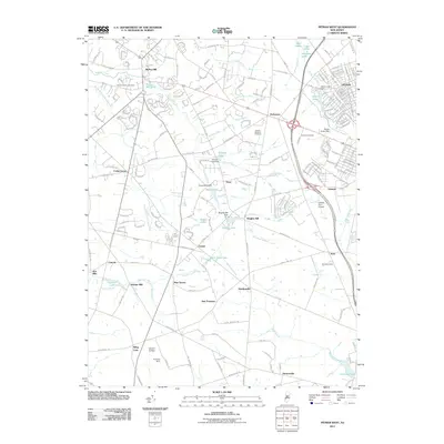
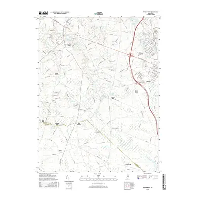
1967 Map of Pitman West
USGS Topo · Published 1984About this map
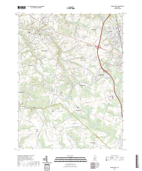
Raccoon Creek and its many tributaries, including Edwards Run and Clems Run, carve through the agricultural and residential landscape of central Gloucester County. The map documents the region's mid-century character, from the established street grids of Pitman and Glassboro to the outlying hamlets of Ewan and Aura. Local industry and commerce are evident in the scatter of gravel pits and sandpits, alongside historic milling sites like Wrights Mill and Jessups Mill.
Find a feature on this map
104 named features on this map. Tap any name to fly to it.
Don’t see what you’re looking for? This feature index may not catch every label — zoom into the map to look around manually.
Map Details
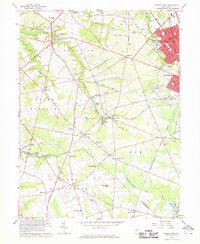
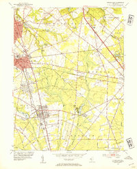
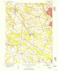
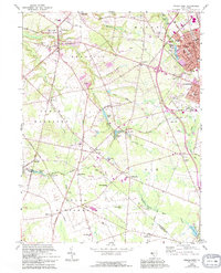
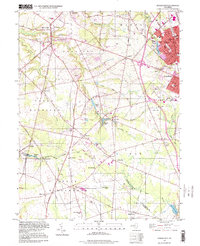
Editions of this 1967 Pitman West Map
3 editions found
Historical Maps of Glassboro Through Time
15 maps found
1953 Pitman East
Gloucester County, NJ
1953 Pitman West
Gloucester County, NJ
1966 Pitman East
Gloucester County, NJ
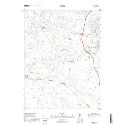
1967 Pitman West
Gloucester County, NJ
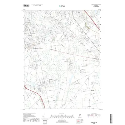
1995 Pitman West
Gloucester County, NJ
2011 Pitman East
Gloucester County, NJ
2011 Pitman West
Gloucester County, NJ
2014 Pitman East
Gloucester County, NJ
2014 Pitman West
Gloucester County, NJ
2016 Pitman East
Gloucester County, NJ
2016 Pitman West
Gloucester County, NJ
2019 Pitman East
Gloucester County, NJ
2019 Pitman West
Gloucester County, NJ
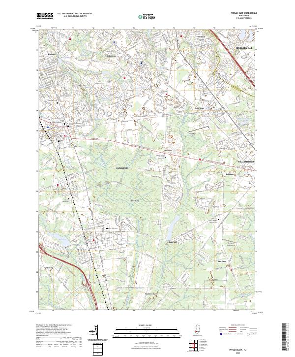
2023 Pitman East
Gloucester County, NJ
2023 Pitman West
Gloucester County, NJ