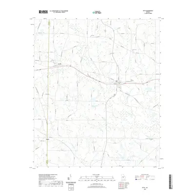
2020 Map of Pitts
USGS Topo · Published 2020About this map
Pitts and Seville serve as the primary population centers in this rural Wilcox County landscape, where the Alapaha River meanders through a terrain defined by agriculture and small-town infrastructure. The settlement of Seville is located near the western boundary with Crisp County, while Pitts sits further east along a corridor of local roads and rail history. Numerous family and community burial grounds, such as Snow Hill Cem, Pine City Cem, and Union Cem, are scattered throughout the countryside, offering significant data points for genealogical research.
Find a feature on this map
93 named features on this map. Tap any name to fly to it.
Don’t see what you’re looking for? This feature index may not catch every label — zoom into the map to look around manually.
Map Details
Editions of this 2020 Pitts Map
This is the sole edition of this map. No revisions or reprints were ever made.
Other maps of this area

1953 · Waycross
USGS Topo · 1:250,000

1957 · Macon
USGS Topo · 1:250,000

1958 · Macon
USGS Topo · 1:250,000

1958 · Waycross
USGS Topo · 1:250,000

1964 · Macon
USGS Topo · 1:250,000

1971 · Pineview West
USGS Topo · 1:24,000

1971 · Pineview SW
USGS Topo · 1:24,000

1972 · Pineview East
USGS Topo · 1:24,000

1974 · Rebecca
USGS Topo · 1:24,000
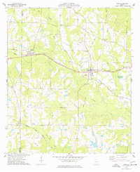
1974 · Pitts
USGS Topo · 1:24,000