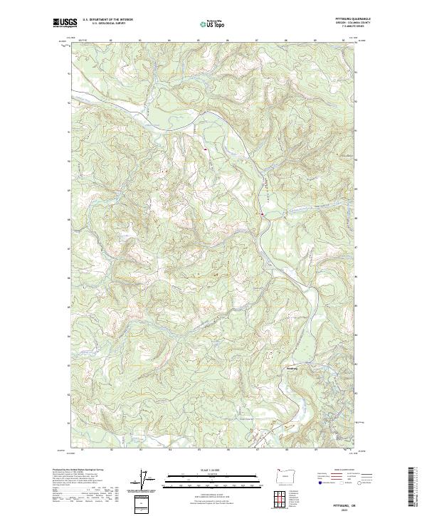
2023 Map of Pittsburg
USGS Topo · Published 2023About this map
Pittsburg serves as the focal point for this section of Columbia County, situated at the confluence where the East Fork Nehalem River meets the main stem of the Nehalem River. The landscape is defined by the deep winding corridors of the Nehalem Valley, where a network of logging and resource roads such as Burris Mnln and Coates Mnln navigate the steep rises toward Enterprise Point.
Find a feature on this map
51 named features on this map. Tap any name to fly to it.
Don’t see what you’re looking for? This feature index may not catch every label — zoom into the map to look around manually.
Map Details
Editions of this 2023 Pittsburg Map
This is the sole edition of this map. No revisions or reprints were ever made.
Other maps of this area

1919 · Mayger
USGS Topo · 1:62,500

1940 · Vernonia
USGS Topo · 1:62,500

1941 · Keasey
USGS Topo · 1:62,500

1941 · Clatskanie
USGS Topo · 1:62,500

1941 · Cathlamet
USGS Topo · 1:62,500

1943 · Vernonia
USGS Topo · 1:62,500

1943 · Keasey
USGS Topo · 1:62,500

1948 · Vancouver
USGS Topo · 1:250,000

1950 · Vancouver
USGS Topo · 1:250,000

1950 · Vancouver
USGS Topo · 1:250,000