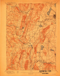
1897 Map of Pittsfield
USGS Topo · Published 1912About this map
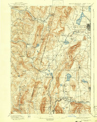
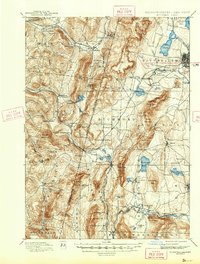
The New York Massachusetts State Line bisects this survey, capturing a late nineteenth-century landscape defined by early industry and communal settlements. Notable Shaker communities are documented at Canaan Shakers and Shaker Village, positioned near Shaker Mountain. Industrial activity is evident at Richmond Furnace and Rockdale Mills, while the expanding transportation network is marked by the Lebanon Springs Railroad and the Boston and Albany Railroad crossing the boundary at State Line. This area serves as a significant cultural and geographic corridor where the Berkshires meet the Taconic Range. Wealthier residential development and scenic landmarks appear to the east in Lenox and Stockbridge, including the prominent Stockbridge Bowl and Lake Onota. The map provides a detailed view of these border townships before the shift from industrial milling to a more recreation-based economy.
Find a feature on this map
109 named features on this map. Tap any name to fly to it.
Don’t see what you’re looking for? This feature index may not catch every label — zoom into the map to look around manually.
Map Details
Editions of this 1897 Pittsfield Map
11 editions found

1897 edition
15.8 x 19.9 inches
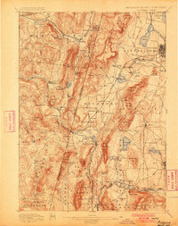
1900 edition
15.7 x 19.9 inches
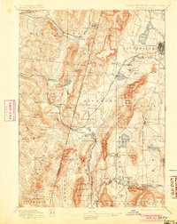
1905 edition
15.7 x 19.8 inches
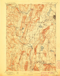
1908 edition
15.8 x 19.9 inches
1912 edition
15.7 x 20 inches
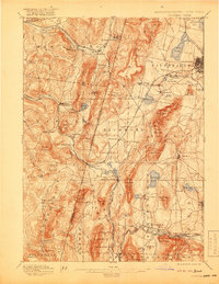
1919 edition
15.8 x 20.4 inches
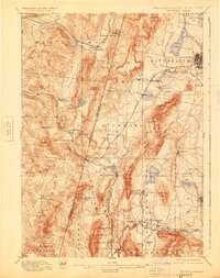
1925 edition
15.8 x 19.9 inches
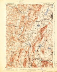
1931 edition
15.7 x 19.9 inches
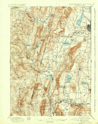
1937 edition
15.8 x 19.8 inches
1943 edition
15.8 x 19.8 inches
1943 edition
15.8 x 20.8 inches
Other maps of this area

1885 · Sheffield
USGS Topo · 1:62,500

1886 · Greylock
USGS Topo · 1:62,500

1886 · Becket
USGS Topo · 1:62,500

1888 · Sheffield
USGS Topo · 1:62,500

1888 · Becket
USGS Topo · 1:62,500

1888 · Berlin
USGS Topo · 1:62,500

1888 · Sandisfield
USGS Topo · 1:62,500

1888 · Pittsfield
USGS Topo · 1:62,500

1890 · Pittsfield
USGS Topo · 1:62,500

1890 · Berlin
USGS Topo · 1:62,500