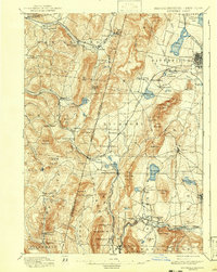
1897 Map of Pittsfield
USGS Topo · Published 1943About this map
The Shaker communities of the Berkshires anchor this late-nineteenth-century landscape, with Shaker Village in Massachusetts and the Canaan Shakers settlement across the border in New York. The map reveals an intricate network of early industry and transport, where the Richmond Furnace and Rockdale Mills utilize the region’s natural resources. The Lebanon Springs Railroad and the Boston and Albany Railroad cut through the terrain, connecting industrial centers like Pittsfield and Housatonic to broader markets.
Find a feature on this map
111 named features on this map. Tap any name to fly to it.
Don’t see what you’re looking for? This feature index may not catch every label — zoom into the map to look around manually.
Map Details
Editions of this 1897 Pittsfield Map
11 editions found

1897 edition
15.8 x 19.9 inches
1900 edition
15.7 x 19.9 inches
1905 edition
15.7 x 19.8 inches
1908 edition
15.8 x 19.9 inches
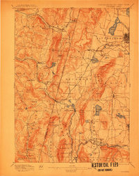
1912 edition
15.7 x 20 inches
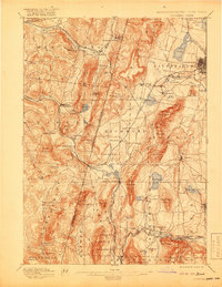
1919 edition
15.8 x 20.4 inches
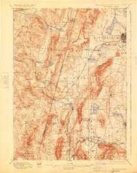
1925 edition
15.8 x 19.9 inches
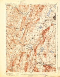
1931 edition
15.7 x 19.9 inches
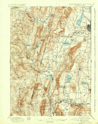
1937 edition
15.8 x 19.8 inches
1943 edition
15.8 x 19.8 inches
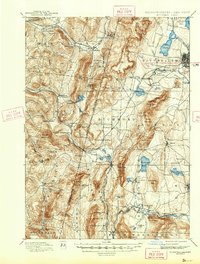
1943 edition
15.8 x 20.8 inches
Other maps of this area

1885 · Sheffield
USGS Topo · 1:62,500

1886 · Greylock
USGS Topo · 1:62,500

1886 · Becket
USGS Topo · 1:62,500

1888 · Sheffield
USGS Topo · 1:62,500

1888 · Becket
USGS Topo · 1:62,500

1888 · Berlin
USGS Topo · 1:62,500

1888 · Sandisfield
USGS Topo · 1:62,500

1888 · Pittsfield
USGS Topo · 1:62,500

1890 · Pittsfield
USGS Topo · 1:62,500

1890 · Berlin
USGS Topo · 1:62,500