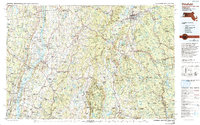
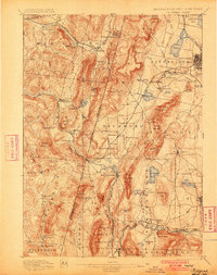
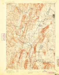
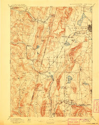
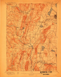
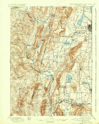
1897 Map of Pittsfield
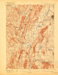
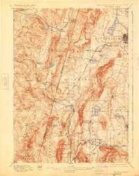
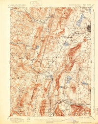
USGS Topo · Published 1897This historical map portrays the area of Pittsfield in 1897, primarily covering Berkshire County as well as portions of New York. Featuring a scale of 1:62500, this map provides a highly detailed snapshot of the terrain, roads, buildings, counties, and historical landmarks in the Pittsfield region at the time. Published in 1897, it is one of 11 known editions of this map due to revisions or reprints.
Find a feature on this map
109 named features on this map. Tap any name to fly to it.
Don’t see what you’re looking for? This feature index may not catch every label — zoom into the map to look around manually.
Map Details
Editions of this 1897 Pittsfield Map
11 editions found
1897 edition
15.8 x 19.9 inches
1900 edition
15.7 x 19.9 inches
1905 edition
15.7 x 19.8 inches
1908 edition
15.8 x 19.9 inches
1912 edition
15.7 x 20 inches
1919 edition
15.8 x 20.4 inches
1925 edition
15.8 x 19.9 inches
1931 edition
15.7 x 19.9 inches
1937 edition
15.8 x 19.8 inches
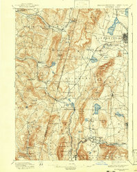
1943 edition
15.8 x 19.8 inches
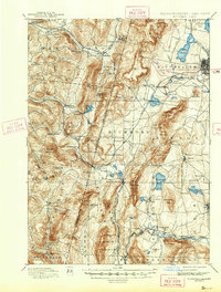
1943 edition
15.8 x 20.8 inches
Historical Maps of Alford Through Time
6 maps found