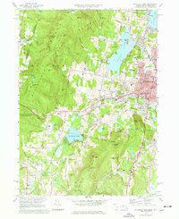
1973 Map of Pittsfield West
USGS Topo · Published 1986About this map
The eastern slopes of the Taconic Range meet the urban expansion of Pittsfield in this early 1970s survey. To the west, the landscape is defined by the high elevations of Bates Memorial State Park and Pittsfield State Forest, including peaks like Tower Mtn and Berry Pond, the highest natural body of water in the state. In the valley below, the historic communal settlement of Shaker Village stands near the Penn Central rail line, illustrating the region's complex heritage of religious isolationism and industrial transit.
Find a feature on this map
81 named features on this map. Tap any name to fly to it.
Don’t see what you’re looking for? This feature index may not catch every label — zoom into the map to look around manually.
Map Details
Editions of this 1973 Pittsfield West Map
4 editions found
Other maps of this area

1886 · Greylock
USGS Topo · 1:62,500

1886 · Becket
USGS Topo · 1:62,500

1888 · Becket
USGS Topo · 1:62,500

1888 · Berlin
USGS Topo · 1:62,500

1888 · Pittsfield
USGS Topo · 1:62,500

1890 · Pittsfield
USGS Topo · 1:62,500

1890 · Berlin
USGS Topo · 1:62,500

1891 · Greylock
USGS Topo · 1:62,500

1893 · Becket
USGS Topo · 1:62,500

1893 · Greylock
USGS Topo · 1:62,500