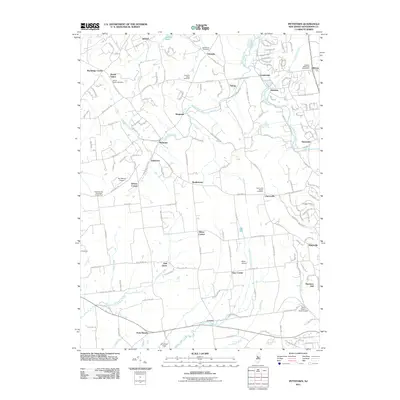
2011 Map of Pittstown
USGS Topo · Published 2011About this map
Peaceful Valley Orchards and the surrounding agricultural tracts characterize this portion of Hunterdon County, where traditional farmsteads meet modern aviation. The landscape is defined by the winding course of the South Branch Raritan River and numerous tributaries such as Capoolong Creek, Lockatong Creek, and Wickecheoke Creek. Small rural crossroads and hamlets including Pittstown, Jutland, and Cherryville are scattered throughout the region, often centered around long-standing landmarks like the Bethlehem Cemetery or the Cherryville Baptist Cemetery.
Find a feature on this map
144 named features on this map. Tap any name to fly to it.
Don’t see what you’re looking for? This feature index may not catch every label — zoom into the map to look around manually.
Map Details
Editions of this 2011 Pittstown Map
This is the sole edition of this map. No revisions or reprints were ever made.
Other maps of this area

1890 · Easton
USGS Topo · 1:62,500

1890 · High Bridge
USGS Topo · 1:62,500

1890 · Lambertville
USGS Topo · 1:62,500

1890 · Doylestown
USGS Topo · 1:62,500

1891 · Easton
USGS Topo · 1:62,500

1891 · Lambertville
USGS Topo · 1:62,500

1891 · Doylestown
USGS Topo · 1:62,500

1894 · Lambertville
USGS Topo · 1:62,500

1898 · High Bridge
USGS Topo · 1:62,500

1900 · Raritan
USGS Topo · 1:125,000