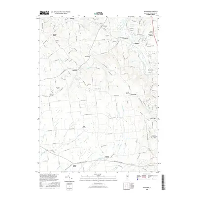
2016 Map of Pittstown
USGS Topo · Published 2016About this map
Pittstown and the surrounding Hunterdon County countryside are defined by a network of creek valleys and scattered hamlets in this 2016 study. The landscape is drained by significant watercourses including the South Branch Raritan River and Lockatong Creek, which have long shaped the settlement patterns of this region. Local history is deeply embedded in the many burial grounds and places of worship that anchor these small communities, such as Bethlehem Cem, Mount Salem Cem, and the Allerton Methodist Church Yard.
Find a feature on this map
165 named features on this map. Tap any name to fly to it.
Don’t see what you’re looking for? This feature index may not catch every label — zoom into the map to look around manually.
Map Details
Editions of this 2016 Pittstown Map
This is the sole edition of this map. No revisions or reprints were ever made.
Other maps of this area

1890 · Easton
USGS Topo · 1:62,500

1890 · High Bridge
USGS Topo · 1:62,500

1890 · Lambertville
USGS Topo · 1:62,500

1890 · Doylestown
USGS Topo · 1:62,500

1891 · Easton
USGS Topo · 1:62,500

1891 · Lambertville
USGS Topo · 1:62,500

1891 · Doylestown
USGS Topo · 1:62,500

1894 · Lambertville
USGS Topo · 1:62,500

1898 · High Bridge
USGS Topo · 1:62,500

1900 · Raritan
USGS Topo · 1:125,000