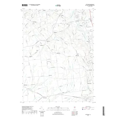
2019 Map of Pittstown
USGS Topo · Published 2019About this map
Cakepoulin Creek and its many tributaries carve through this section of Hunterdon County, anchoring a landscape dotted with long-established hamlets. The area around Pittstown and Quakertown reflects a pattern of rural settlement where small communities like Cherryville, Grandin, and Jutland grew around local crossroads and watercourses. Genealogical interest is high here, with numerous burial grounds such as Mount Salem Cem, Bethlehem Cem, and Allerton Methodist Cem marking the legacy of early families.
Find a feature on this map
171 named features on this map. Tap any name to fly to it.
Don’t see what you’re looking for? This feature index may not catch every label — zoom into the map to look around manually.
Map Details
Editions of this 2019 Pittstown Map
This is the sole edition of this map. No revisions or reprints were ever made.
Other maps of this area

1890 · Easton
USGS Topo · 1:62,500

1890 · High Bridge
USGS Topo · 1:62,500

1890 · Lambertville
USGS Topo · 1:62,500

1890 · Doylestown
USGS Topo · 1:62,500

1891 · Easton
USGS Topo · 1:62,500

1891 · Lambertville
USGS Topo · 1:62,500

1891 · Doylestown
USGS Topo · 1:62,500

1894 · Lambertville
USGS Topo · 1:62,500

1898 · High Bridge
USGS Topo · 1:62,500

1900 · Raritan
USGS Topo · 1:125,000