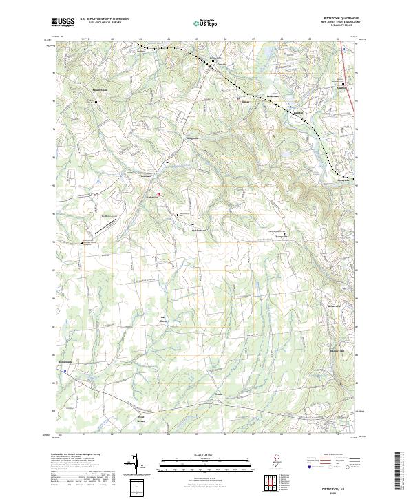
2023 Map of Pittstown
USGS Topo · Published 2023About this map
Pittstown and the surrounding Hunterdon County countryside are defined by a network of small villages and winding watercourses as they appeared in this recent survey. The landscape is dotted with long-established settlements such as Quakertown, Croton, and Baptistown, many of which grew around early intersections and local mill sites. The topography is shaped by the South Branch Raritan River in the northeast and several significant streams including Cakepoulin Creek and Lockatong Creek, which have historically influenced the placement of farms and roads throughout the region.
Find a feature on this map
171 named features on this map. Tap any name to fly to it.
Don’t see what you’re looking for? This feature index may not catch every label — zoom into the map to look around manually.
Map Details
Editions of this 2023 Pittstown Map
This is the sole edition of this map. No revisions or reprints were ever made.
Other maps of this area

1890 · Easton
USGS Topo · 1:62,500

1890 · High Bridge
USGS Topo · 1:62,500

1890 · Lambertville
USGS Topo · 1:62,500

1890 · Doylestown
USGS Topo · 1:62,500

1891 · Easton
USGS Topo · 1:62,500

1891 · Lambertville
USGS Topo · 1:62,500

1891 · Doylestown
USGS Topo · 1:62,500

1894 · Lambertville
USGS Topo · 1:62,500

1898 · High Bridge
USGS Topo · 1:62,500

1900 · Raritan
USGS Topo · 1:125,000