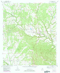
1957 Map of Pittsview
USGS Topo · Published 1984About this map
Pittsview serves as the central hub of this East Alabama landscape, situated where the Southern railroad line cuts through the drainages of Hatchechubbee Creek and Watermelon Creek. The area is characterized by a network of rural communities and crossroads, including Hooks and Glenville, the latter sitting near the southern border at the Russell Co and Barbour Co line. The distribution of small country churches, such as Benevolence Grove Ch and Cool Springs Ch, suggests a well-established social fabric tied to the land's topography.
Find a feature on this map
23 named features on this map. Tap any name to fly to it.
Don’t see what you’re looking for? This feature index may not catch every label — zoom into the map to look around manually.
Map Details
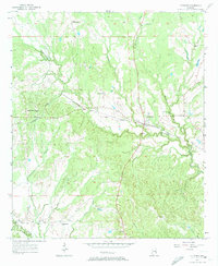
Editions of this 1957 Pittsview Map
3 editions found
Other maps of this area

1914 · Seale
USGS Topo · 1:62,500

1949 · Fort Mitchell
USGS Topo · 1:24,000

1950 · Seale
USGS Topo · 1:24,000

1950 · Seale
USGS Topo · 1:62,500

1955 · Seale
USGS Topo · 1:24,000
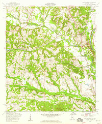
1955 · Fort Mitchell
USGS Topo · 1:24,000

1955 · Seale
USGS Topo · 1:62,500

1955 · Phenix City
USGS Topo · 1:250,000

1957 · Phenix City
USGS Topo · 1:250,000
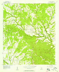
1957 · Pittsview
USGS Topo · 1:24,000