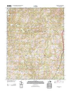
2013 Map of Pittsville
USGS Topo · Published 2013About this map
Farmers Mountain rises as a prominent landmark in this section of Pittsylvania County, overseeing a network of rural settlements and winding waterways. The landscape is defined by the drainage of Fryingpan Cr, Whitehorn Cr, and Old Womans Cr, which carve through the Piedmont terrain before reaching the shores of Leesville Lake in the northwest. This early 21st-century survey documents a region where agricultural roots remain visible through dispersed communities like Pittsville, Toshes, and Galveston. Local history is etched into the road network, with names like Tucks Cemetery Rd and landmarks such as Walkers Well providing specific points of interest for genealogists tracing family landholdings. The map captures the area just south of the Staunton River, illustrating the transition from traditional crossroads like Climax and Redeye to the more modern transportation corridor along the eastern edge.
Find a feature on this map
91 named features on this map. Tap any name to fly to it.
Don’t see what you’re looking for? This feature index may not catch every label — zoom into the map to look around manually.
Map Details
Editions of this 2013 Pittsville Map
This is the sole edition of this map. No revisions or reprints were ever made.
Other maps of this area

1890 · Roanoke
USGS Topo · 1:125,000

1891 · Roanoke
USGS Topo · 1:125,000

1892 · Lynchburg
USGS Topo · 1:125,000

1921 · Chatham
USGS Topo · 1:48,000

1922 · Callands
USGS Topo · 1:48,000

1923 · Chatham
USGS Topo · 1:62,500

1924 · Callands
USGS Topo · 1:62,500

1944 · Callands
USGS Topo · 1:62,500

1947 · Roanoke
USGS Topo · 1:250,000

1951 · Moneta
USGS Topo · 1:62,500