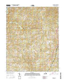
2016 Map of Pittsville
USGS Topo · Published 2016About this map
Gretna serves as the primary hub in this central Pittsylvania County landscape, situated where the terrain begins to rise toward Farmers Mtn in the northeast. The map illustrates a dense network of secondary roads, such as Tucks Cemetery Rd and Pittsville Rd, connecting historic communities like Pittsville, Whittles, and Redeye. These settlements are linked by a complex drainage system including Cherrystone Cr and Whitethorn Cr, which flow through the undulating countryside. The presence of Leesville Lake in the northwest corner highlights the importance of water management in this region, while names like Smothers and Galveston along the eastern corridor indicate established crossroads that have served local residents for generations. The map's detail provides a clear view of the rural landscape's transition from agricultural valleys to more prominent upland features.
Find a feature on this map
74 named features on this map. Tap any name to fly to it.
Don’t see what you’re looking for? This feature index may not catch every label — zoom into the map to look around manually.
Map Details
Editions of this 2016 Pittsville Map
This is the sole edition of this map. No revisions or reprints were ever made.
Other maps of this area

1890 · Roanoke
USGS Topo · 1:125,000

1891 · Roanoke
USGS Topo · 1:125,000

1892 · Lynchburg
USGS Topo · 1:125,000

1921 · Chatham
USGS Topo · 1:48,000

1922 · Callands
USGS Topo · 1:48,000

1923 · Chatham
USGS Topo · 1:62,500

1924 · Callands
USGS Topo · 1:62,500

1944 · Callands
USGS Topo · 1:62,500

1947 · Roanoke
USGS Topo · 1:250,000

1951 · Moneta
USGS Topo · 1:62,500