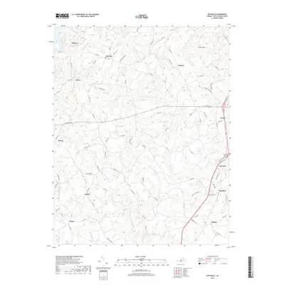
2019 Map of Pittsville
USGS Topo · Published 2019About this map
Pittsville and its surrounding hamlets occupy a landscape of dissected ridges and winding creeks in the heart of Pittsylvania County. This survey highlights the intricate network of secondary routes like Tucks Cemetery Rd and Climax Rd that connect rural outposts such as Toshes, Redeye, and Pullens. The northeastern corner is anchored by the prominent rise of Farmers Mtn, while the southern reaches follow the drainage of Whitehorn Cr toward the settlement of Whittles. The terrain's natural contours are heavily influenced by the drainage patterns of Fryingpan Cr and Cherrystone Cr, illustrating the relationship between the Piedmont topography and the scattered agricultural communities. Along the eastern margin, the established town of Gretna serves as a primary hub, contrasted with the smaller crossroads of Smothers and Galveston that line the regional transit corridors.
Find a feature on this map
84 named features on this map. Tap any name to fly to it.
Don’t see what you’re looking for? This feature index may not catch every label — zoom into the map to look around manually.
Map Details
Editions of this 2019 Pittsville Map
This is the sole edition of this map. No revisions or reprints were ever made.
Other maps of this area

1890 · Roanoke
USGS Topo · 1:125,000

1891 · Roanoke
USGS Topo · 1:125,000

1892 · Lynchburg
USGS Topo · 1:125,000

1921 · Chatham
USGS Topo · 1:48,000

1922 · Callands
USGS Topo · 1:48,000

1923 · Chatham
USGS Topo · 1:62,500

1924 · Callands
USGS Topo · 1:62,500

1944 · Callands
USGS Topo · 1:62,500

1947 · Roanoke
USGS Topo · 1:250,000

1951 · Moneta
USGS Topo · 1:62,500