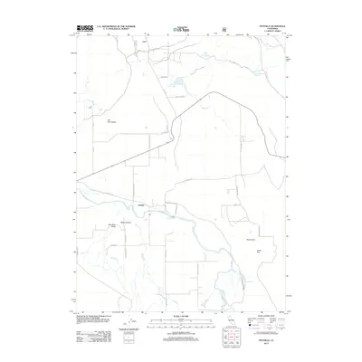
2012 Map of Pittville
USGS Topo · Published 2012About this map
Pittville serves as the central focal point of this Northern California landscape, where the Pit River meanders through the broad Fall River Valley. The 2012 survey illustrates a region defined by its water resources and agricultural heritage, featuring landmarks such as Young Falls and the Hot Springs near Hot Cr. The terrain transitions from the lowlands of Dixon Flat to the prominence of Taylor Knob in the east, while the northern reaches are dotted with irrigation and storage features like the Van Sickle Reservoir, Crum Reservoir, and Toll House Reservoir. Local history is anchored by the Lee Ranch and the network of rural roads such as Old Toll Rd and Pittville Totten Rd, which trace the path of earlier transit and ranching boundaries. This topographic study captures a quiet corner of Shasta County where the convergence of Beaver Cr and other tributaries continue to shape the local economy and geography.
Find a feature on this map
38 named features on this map. Tap any name to fly to it.
Don’t see what you’re looking for? This feature index may not catch every label — zoom into the map to look around manually.
Map Details
Editions of this 2012 Pittville Map
This is the sole edition of this map. No revisions or reprints were ever made.
Other maps of this area

1886 · Lassen Peak
USGS Topo · 1:250,000

1886 · Modoc Lava Bed
USGS Topo · 1:250,000

1892 · Modoc Lava-Bed
USGS Topo · 1:250,000

1892 · Lassen Peak
USGS Topo · 1:250,000

1894 · Lassen Peak
USGS Topo · 1:250,000

1939 · Halls Flat
USGS Topo · 1:125,000

1954 · Alturas
USGS Topo · 1:250,000

1955 · Westwood
USGS Topo · 1:250,000

1957 · Little Valley
USGS Topo · 1:62,500

1957 · Jellico
USGS Topo · 1:62,500