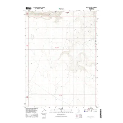
2017 Map of Piute Basin West
USGS Topo · Published 2017About this map
The Owyhee River cuts through the far northern reach of this landscape, carving the dramatic Owyhee Canyon near the confluence with Cherry Gulch. This 2017 survey reveals an arid, high-elevation environment dominated by the drainages of Piute Cr, which winds through the eastern portion of the quadrangle before entering the Piute Basin. The topographic relief is defined by sharp contour gradients along these watercourses, illustrating the geological character of Owyhee County. This modern digital survey serves as a primary reference for the public land survey system divisions in this corner of Idaho, including Townships 13, 14, and 15 South across Ranges 3 and 4 West.
Find a feature on this map
11 named features on this map. Tap any name to fly to it.
Don’t see what you’re looking for? This feature index may not catch every label — zoom into the map to look around manually.
Map Details
Editions of this 2017 Piute Basin West Map
This is the sole edition of this map. No revisions or reprints were ever made.
Other maps of this area

1955 · Jordan Valley
USGS Topo · 1:250,000

1957 · Jordan Valley
USGS Topo · 1:250,000

1958 · Jordan Valley
USGS Topo · 1:250,000

1973 · Coyote Hole
USGS Topo · 1:24,000

1973 · Red Basin
USGS Topo · 1:24,000
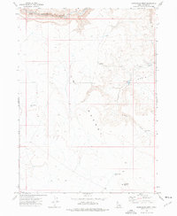
1973 · Piute Basin West
USGS Topo · 1:24,000

1973 · Grassy Ridge
USGS Topo · 1:24,000

1973 · Bull Camp Butte
USGS Topo · 1:24,000

1973 · Brace Flat
USGS Topo · 1:24,000
1973 · Dickshooter Ridge
USGS Topo · 1:24,000