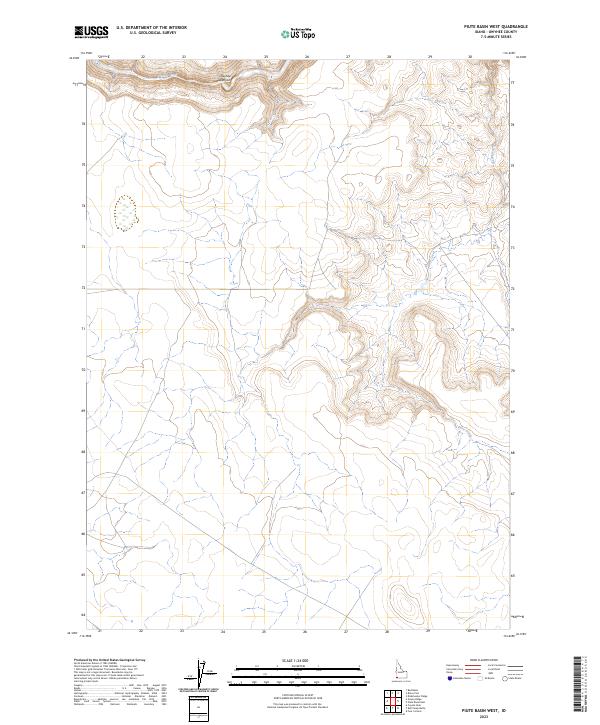
2023 Map of Piute Basin West
USGS Topo · Published 2023About this map
Owyhee River Wilderness dominates the northern reaches of this Owyhee County map, where the deep incisions of Owyhee Canyon reveal the dramatic hydrology of the high desert. The Owyhee Wild and Scenic River winds through this protected corridor, joined by tributaries such as Piute Creek that cut through the undulating sagebrush plateau. This 2023 survey documents a landscape defined by its topographical isolation and lack of permanent settlements or infrastructure, preserved for its primitive character. The map captures the complex drainage patterns of the Owyhee River basin, providing a detailed record of the public lands and wilderness boundaries that shape this corner of southwestern Idaho.
Find a feature on this map
14 named features on this map. Tap any name to fly to it.
Don’t see what you’re looking for? This feature index may not catch every label — zoom into the map to look around manually.
Map Details
Editions of this 2023 Piute Basin West Map
This is the sole edition of this map. No revisions or reprints were ever made.
Other maps of this area

1955 · Jordan Valley
USGS Topo · 1:250,000

1957 · Jordan Valley
USGS Topo · 1:250,000

1958 · Jordan Valley
USGS Topo · 1:250,000

1973 · Coyote Hole
USGS Topo · 1:24,000

1973 · Red Basin
USGS Topo · 1:24,000
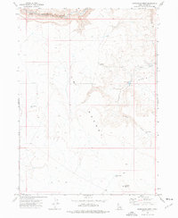
1973 · Piute Basin West
USGS Topo · 1:24,000

1973 · Grassy Ridge
USGS Topo · 1:24,000

1973 · Bull Camp Butte
USGS Topo · 1:24,000

1973 · Brace Flat
USGS Topo · 1:24,000
1973 · Dickshooter Ridge
USGS Topo · 1:24,000