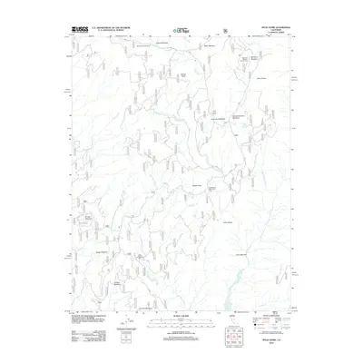
2012 Map of Piyau Dome
USGS Topo · Published 2012About this map
Piyau Dome overlooks a high Sierra landscape defined by an intricate network of seasonal meadows and headwater streams. This 2012 survey illustrates the grazing and recreational infrastructure of the region, specifically marking historical cattle outposts like McDougald Cow Camp and Jones Cow Camp. These sites, along with the Jackass Rock Organization Camp, reflect the enduring utility of these upland basins for both summer livestock range and organized wilderness access.
Find a feature on this map
31 named features on this map. Tap any name to fly to it.
Don’t see what you’re looking for? This feature index may not catch every label — zoom into the map to look around manually.
Map Details
Editions of this 2012 Piyau Dome Map
This is the sole edition of this map. No revisions or reprints were ever made.
Other maps of this area

1901 · Mt. Lyell
USGS Topo · 1:125,000

1904 · Kaiser
USGS Topo · 1:125,000

1947 · Mariposa
USGS Topo · 1:250,000

1948 · Mariposa
USGS Topo · 1:250,000

1953 · Merced Peak
USGS Topo · 1:62,500

1953 · Devils Postpile
USGS Topo · 1:62,500

1953 · Shuteye Peak
USGS Topo · 1:62,500

1953 · Kaiser Peak
USGS Topo · 1:62,500

1957 · Mariposa
USGS Topo · 1:250,000

1963 · Mariposa
USGS Topo · 1:250,000