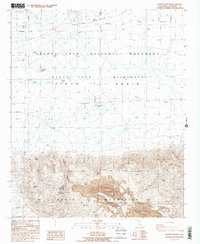
1986 Map of Placer Canyon
USGS Topo · Published 1987About this map
The Eagle Mountain Mine and its sprawling Central Deposit dominate the southern portion of this desert landscape, illustrating the intense industrial footprint of iron ore extraction in the mid-1980s. This survey captures the intersection of heavy industry and conservation, where the mining operations sit adjacent to the protected lands of Joshua Tree National Monument and the Joshua Tree Wilderness. The contrast between the excavated terrain and the undisturbed reaches of the Pinto Basin is stark, marked by several smaller historical workings like the Mystery Mine, Black Eagle Mine, and Cactus Mine. Localized water sources, critical for both mining and survival in the Eagle Mountains, are identified at Black Eagle Well and Eagle Tank. Steep drainages like Placer Canyon and the broad Pinto Wash define the natural drainage patterns of this arid interior.
Find a feature on this map
20 named features on this map. Tap any name to fly to it.
Don’t see what you’re looking for? This feature index may not catch every label — zoom into the map to look around manually.
Map Details
Editions of this 1986 Placer Canyon Map
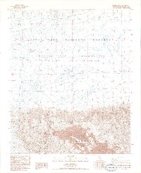
2 editions found
Other maps of this area

1942 · Amboy
USGS Topo · 1:250,000

1943 · Amboy
USGS Topo · 1:250,000

1943 · Cadiz Valley
USGS Topo · 1:62,500

1943 · Coxcomb Mountains
USGS Topo · 1:62,500

1944 · Eagle Tank
USGS Topo · 1:62,500

1944 · Coxcomb Mountains
USGS Topo · 1:62,500

1954 · Salton Sea
USGS Topo · 1:250,000

1954 · Needles
USGS Topo · 1:250,000

1955 · Salton Sea
USGS Topo · 1:250,000

1956 · Needles
USGS Topo · 1:250,000